
Length 182 km | Basin area 4,565 km² | |
 | ||
- average 574 m/s (20,271 cu ft/s) | ||
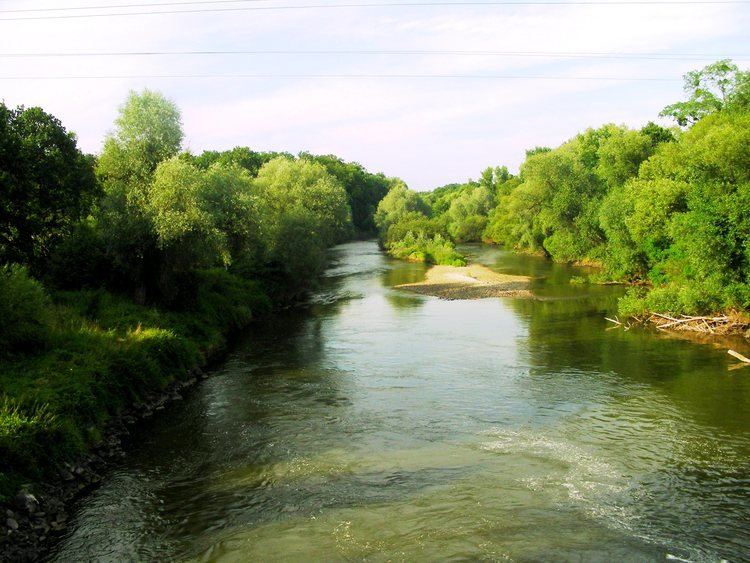
The Eastern Neisse, also known by its Polish name of Nysa Kłodzka (German: Glatzer Neiße, Czech: Kladská Nisa), is a river in southwestern Poland, a left tributary of the Oder, with a length of 195 km (21st longest) and a basin area of 4,566 km² (3,744 in Poland).
Contents
Map of Nysa K%C5%82odzka, Poland
Before 1945 the area was part of Germany. During the Yalta Conference it was discussed by the Western Allies as one possible line of the western Polish border. Attempts were made to negotiate a compromise with the Soviets on the new Polish-German frontier; it was suggested that the Eastern Neisse be made the line of demarcation. This would have meant that (East) Germany could have retained approximately half of Silesia, including most of Wrocław. However the Soviets rejected the suggestion at the Potsdam Conference and insisted that the southern boundary between Germany and Poland be drawn further west, at the Lusatian Neisse.
FloodsEdit
The Eastern Neisse originates in the Śnieżnik mountain range of the Sudetes, near the border with the Czech Republic. It is partially regulated. The river has often left its banks and flooded nearby towns, at times destroying them completely. Town chronicles from Kłodzko mention floods in the following years:
TownsEdit
Until 1945, these communities were situated on German territory and largely populated by Germans before they were driven out at the end of the Second World War. German names are indicated in italics.