
Length Approx 28 km Surface Mainly concrete. | Trail difficulty Mostly easy | |
 | ||
Hazards Road underpasses regularly flood. Rough path surface in places. Hills Mostly flat, hilly in the north | ||
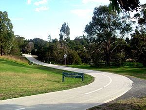
The EastLink Trail is a shared use path for cyclists and pedestrians, which follows the EastLink tollway for most of its length from Ringwood to Dandenong, in the outer eastern suburbs of Melbourne, Victoria, Australia.
Contents
Map of Eastlink Trail, Victoria, Australia
Following the path
The path passes through or near to:
The trail ends at Dandenong Creek in Dandenong South at the Dandenong Creek Trail. The Dandenong Creek Trail then follows the tollway as far as Bangholme. It then heads west, taking users to the National Watersports Complex, Patterson Lakes, Carrum Foreshore, and the Bayside Trail beyond.
Footbridges cross EastLink at a number of points along the trail, and another takes path users across the Princes Highway.
Two additional footbridges completed construction in 2009: A footbridge over Maroondah Highway and a 60 m footbridge over Burwood Highway at the intersection with Mountain Highway.
Connections
The EastLink Trail connects to numerous other paths: To the Mullum Mullum Creek Trail in the north and close by is the Koonung Creek Trail. Centrally it connects to the Blind Creek Trail just south of High Street and comes close to the Scotchmans Creek Trail. At Ferntree Gully Road it connects to the Ferny Creek Trail. In the south at Dandenong, it connects to the Dandenong Creek Trail.
Two sections of the EastLink Trail utilise sections of the older Dandenong Creek Trail.
North end at 37.812129°S 145.218121°E / -37.812129; 145.218121. South end at 37.999997°S 145.194264°E / -37.999997; 145.194264.