
Population 797 (2011 census) Postcode(s) 3175 Area 30 km² Postal code 3175 | Established 1925 State electorate(s) CarrumMordialloc Founded 1925 | |
 | ||
LGA(s) | ||
Bangholme is a suburb in Melbourne, Victoria, Australia, 31 km south-east of Melbourne's central business district and adjacent to the urban area. Its local government area is the City of Greater Dandenong. At the 2011 census, Bangholme had a population of 797, most of who live in the Willow Lodge Village, a mobile home development on Frankston-Dandenong Rd.
Contents
Map of Bangholme VIC 3175, Australia
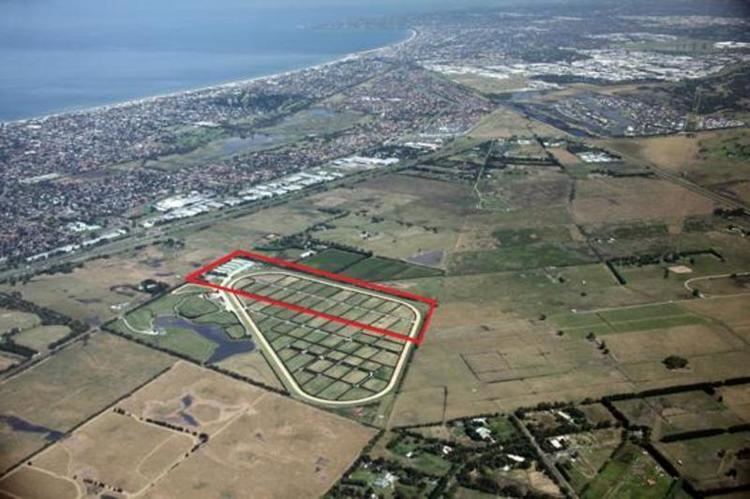
The area is semi-rural and is part of Melbourne's South East Green Wedge, with a significant part of the land used by the Melbourne Water Eastern Sewage Treatment Plant, and the remainder being mostly small land holdings, with some used for horse acreage.|
The EastLink tollway passes through the area.
History
Bangholme Post Office opened on 15 June 1925, and closed in 1943.
Demographics
Bangholme has a SEIFA score of 744, indicating a high level of disadvantage — it is in the bottom percentile nationally and has the lowest score of any Melbourne suburb.
Sport
The National Water Sports Centre is located in Bangholme adjacent to the Patterson River.
Golfers play at the course of the Eastern Sward Golf Club on Thompson Road, Bangholme.
Horse riding lessons are conducted at BlinkBonnie Equestrian Centre on Pillars Road.
Horse agistment (paddocks for hire) is also available at various properties on and near Pillars Road.