
Country United States Time zone Eastern (EST) (UTC-5) Elevation 340 m Zip code 44625 Local time Friday 3:44 AM | State Ohio Area code(s) 330, 234 Area 110 ha Population 231 (2010) | |
 | ||
Weather 0°C, Wind N at 10 km/h, 94% Humidity | ||
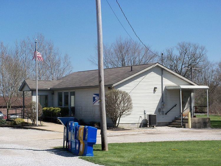
East Rochester is an unincorporated community and census-designated place (CDP) in southern West Township, Columbiana County, Ohio, United States. As of the 2010 census it had a population of 231. Although it is unincorporated, it has a post office, with the ZIP code of 44625. It lies along U.S. Route 30.
Contents
Map of East Rochester, OH, USA
History
East Rochester was originally known officially as "Rochester", and under the latter name was platted in 1834. The Cleveland and Pittsburgh Railroad was built through the settlement in 1852. When the post office was established, the name "East Rochester" was adopted to avoid repetition with another Rochester, Ohio. A post office called East Rochester has been in operation since 1840.
Geography
East Rochester is located along U.S. Route 30, 32 miles (51 km) northwest of East Liverpool and 22 miles (35 km) east of Canton. The nearest incorporated community is Minerva, 4 miles (6 km) to the west.
According to the U.S. Census Bureau, the East Rochester CDP has an area of 0.42 square miles (1.1 km2). It is in the valley of Sandy Creek, which flows west to the Tuscarawas River, a tributary of the Ohio River.