
Time zone EST (UTC-5) Website www.easthawkesbury.ca | Postal Code FSA K0B Population 3,335 (2011) Area code 613 | |
 | ||
East Hawkesbury is a township in eastern Ontario, Canada, in the United Counties of Prescott and Russell. It is on the Ottawa River. Its eastern boundary is the border with the province of Quebec.
Contents
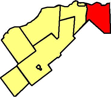
Map of East Hawkesbury, ON, Canada
Communities
The township comprises the communities of Barb, Chevrier, Chute-à-Blondeau, Glen Andrew, Golden Hill, La Renouche, Maple Row, Pointe-Fortune, Stardale, St. Davids, Sainte-Anne-de-Prescott and St. Eugene.
History
During World War II the Royal Canadian Air Force built and operated No. 13 Elementary Flying Training School as part of the British Commonwealth Air Training Plan on a site 2 km south of St. Eugene. The school opened on 28 October 1940 and closed on 19 June 1945.
The airfield was located at 45°29′17″N 074°28′17″W.
References
East Hawkesbury Wikipedia(Text) CC BY-SA