
OS grid reference TL 993 865 Post town NORWICH Local time Friday 6:03 AM | Sovereign state United Kingdom Postcode district NR16 Dialling code 01953 | |
 | ||
Weather 4°C, Wind S at 11 km/h, 97% Humidity | ||
The elms east harling united kingdom hd review
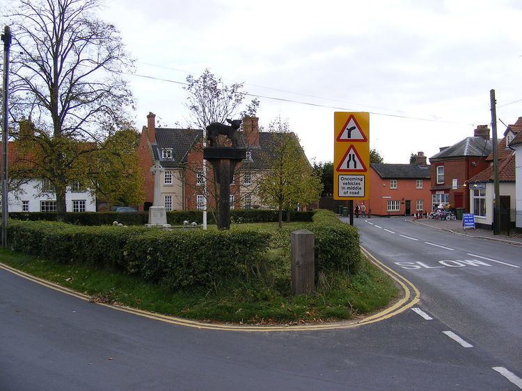
East Harling is a village in the English county of Norfolk. The village forms the principal settlement in the civil parish of Harling (where the population is included), and is located some 8 miles (13 km) east of the town of Thetford and 25 miles (40 km) south-west of the city of Norwich.
Contents
- The elms east harling united kingdom hd review
- Map of East Harling Norwich UK
- East harling reserves v corton abandoned after two minutes
- References
Map of East Harling, Norwich, UK
The village is served by Harling Road railway station, which is situated 2 miles (3 km) to the north.
From 1808 to 1814 East Harling hosted a station in the shutter telegraph chain which connected the Admiralty in London to its naval ships in the port of Great Yarmouth.
East harling reserves v corton abandoned after two minutes
References
East Harling Wikipedia(Text) CC BY-SA