
Topo map USGS Eagle Mountain Prominence 403 m | Elevation 701 m | |
 | ||
Listing U.S. state high point 37th Easiest route Maintained hiking trail Similar Mount Arvon, Hawkeye Point, White Butte, Woodall Mountain, Driskill Mountain | ||
Eagle Mountain is the highest natural point in Minnesota, at 2,301 feet (701 m). It is located in northern Cook County and is in the Boundary Waters Canoe Area Wilderness and Superior National Forest in the Misquah Hills, northwest of the community of Grand Marais. It is a Minnesota State Historic Site.
Map of Eagle Mountain, West Cook, MN 55604, USA
Eagle Mountain is only about 15 miles (24 km) from Minnesota's lowest elevation, Lake Superior, at 600 feet (183 m). It is part of the Canadian Shield. Confusingly, there is another, much shorter, peak named Eagle Mountain in northern Minnesota. The shorter peak is part of the Lutsen Mountains ski resort.
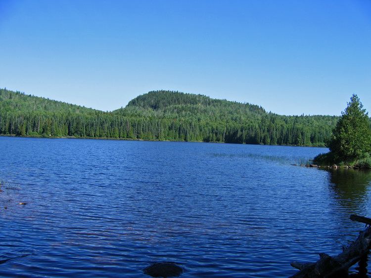
The hike to the summit can be made in about two and a half hours. The distance to the peak is about 3.5 miles (5.6 km) with an elevation gain of 550 feet (168 m). The trail is rocky and moderately strenuous. Whale Lake is located about halfway along the trail and offers two campsites to hikers. The peak of the mountain is marked with a plaque.
Permits are required because portions of this hike enter the Boundary Waters Canoe Area Wilderness. Self-issued permits are available at any Superior National Forest ranger station or at the trailhead. Instructions and the permit can usually be found at the trailhead kiosk.
On the list of highest natural points (highpoints) in each U.S. state, Eagle Mountain ranks 37th.