
Seat Utrecht Time zone SAST (UTC+2) Area 3,539 km² Black african population 92.7% Native english speakers 1.7% | Wards 4 Municipal code KZN253 White population 5.7% Native afrikaans speakers 6.1% Native zulu speakers 87.9% | |
 | ||
District | ||
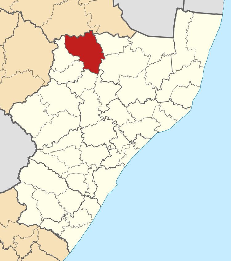
eMadlangeni Local Municipality, previously known as Utrecht Local Municipality, is an administrative area in the Amajuba District of KwaZulu-Natal in South Africa.
Contents
Map of Utrecht, South Africa
Main places
The 2001 census divided the municipality into the following main places:
Politics
The municipal council consists of eleven members elected by mixed-member proportional representation. Six councillors are elected by first-past-the-post voting in six wards, while the remaining five are chosen from party lists so that the total number of party representatives is proportional to the number of votes received. In the election of 3 August 2016 the African National Congress (ANC) won a majority of six seats on the council. The following table shows the results of the election.
References
EMadlangeni Local Municipality Wikipedia(Text) CC BY-SA