Time zone SAST (UTC+2) Area 6,911 km² Black african population 93.1% Native english speakers 5.2% | Municipal code DC25 White population 3.4% Native afrikaans speakers 3.1% | |
 | ||
Local municipalities ListNewcastleeMadlangeniDannhauser Points of interest Blackrock Casino, Chelmsford Nature Reserve, Ncandu Falls, Battlefields Route | ||
Newcastle amajuba district municipality
Amajuba is one of the 11 districts of KwaZulu-Natal province. The seat of Amajuba is Newcastle. The majority of its 468,040 people speak Zulu (2001 Census). The district code is DC25
Contents
- Newcastle amajuba district municipality
- Map of Amajuba South Africa
- Tourism
- Neighbours
- Local municipalities
- Demographics
- Election results
- References
Map of Amajuba, South Africa
Tourism
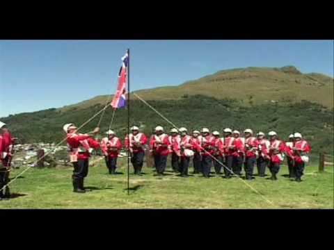
The Amajuba District is marketed as a battlefields tourism destination. Amajuba is an isiZulu name meaning “a place of doves”. The impis of King Shaka named the area Amajuba in 1825. It is associated with peace and it is a world-renowned name. The area is also the site of a battle in which the Boers defeated the British in 1881.
Neighbours
Amajuba is surrounded by:
Local municipalities
The district contains the following local municipalities:
Demographics
The following statistics are from the 2001 census.
Election results
Election results for Amajuba in the South African general election, 2004.
References
Amajuba District Municipality Wikipedia(Text) CC BY-SA
