Type Lake Max. length 1.4 mi (2.3 km) Average depth 16 ft (4.9 m) Surface elevation 495 m Shore length 8.2 km | Surface area 134 acres (54 ha) Max. depth 35 ft (11 m) Area 54 ha | |
 | ||
Hiking a snowy dyken pond trail
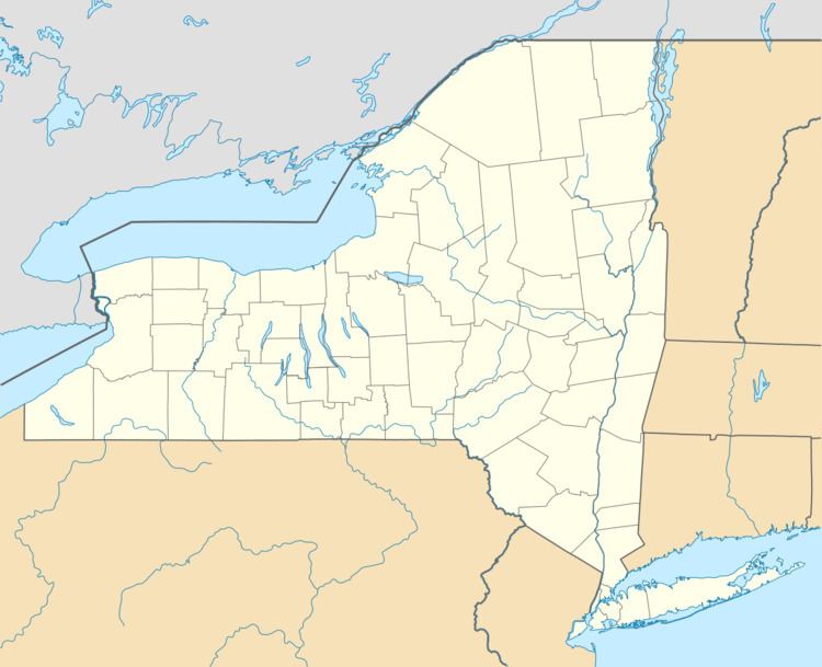
Dyken Pond is a 134-acre (54 ha) lake in the towns of Grafton and Berlin in Rensselaer County, New York. The pond gets water primarily from precipitation and outflows westward into the Poesten Kill, a tributary of the Hudson River. It is located in northwest Berlin, south of Grafton Lakes State Park.
Contents
- Hiking a snowy dyken pond trail
- Map of Dyken Pond New York USA
- A mountain stream at dyken pond nature center
- References
Map of Dyken Pond, New York, USA
Dyken Pond is 1.4 miles (2.3 km) long with a shoreline length of 5.1 miles (8.2 km); its maximum depth is 35 feet (11 m) with an average depth of 16 feet (4.9 m). It sits at an elevation of 1,625 feet (495 m).
Formerly a small pond, Dyken Pond was enlarged to its current size in 1902 after a dam was built to regulate water power and reduce flooding. The dam was constructed by the Manning Paper Company, who later donated their land holdings in the vicinity of the pond to Rensselaer County in 1973. That land became part of the Dyken Pond Environmental Education Center, a 594-acre (2.40 km2) property that is accessible to the public for the purpose of outdoor education and low-impact recreation.
The pond facilitates fishing for chain pickerel and panfish, and ice fishing is permitted. A boat launch is located on Deer Run Way on the lake's west shore.
