
Founded 1750 Congressional district 7th Website www.duplincountync.com Population 60,084 (2013) | Area 2,129 km² | |
 | ||
Rivers Northeast Cape Fear River, Goshen Swamp, Back Swamp | ||
Duplin /ˈduːplɪn/ County is a county located in the U.S. state of North Carolina. As of the 2010 census, the population was 58,505. Its county seat is Kenansville.
Contents
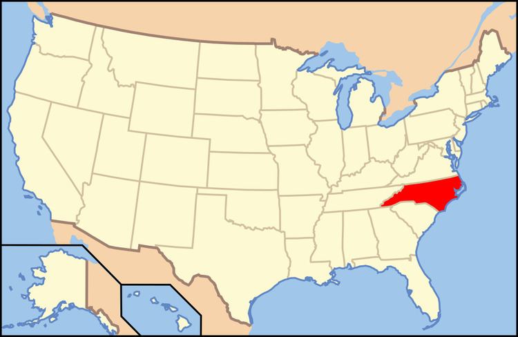
- Map of Duplin County NC USA
- History
- Geography
- Adjacent counties
- Demographics
- Law and government
- Education
- Economy
- Airports
- Census designated place
- Unincorporated communities
- References
Map of Duplin County, NC, USA
History
The county was formed in 1750 from New Hanover County. It was named for Thomas Hay, Viscount Dupplin, later 9th Earl of Kinnoull.
In 1784 the western part of Duplin County became Sampson County.
One of Duplin's favorite sons, John Miller, was a postmaster and merchant in Duplin. He migrated to Leon County, Florida, with other North Carolinians in the 1830s-1840s and established a successful cotton plantation called Miccosukee Plantation.
Geography
According to the U.S. Census Bureau, the county has a total area of 822 square miles (2,130 km2), of which 816 square miles (2,110 km2) is land and 5.5 square miles (14 km2) (0.7%) is water.
Adjacent counties
Demographics
As of the census of 2000, there were 49,063 people, 18,267 households, and 13,060 families residing in the county. The population density was 60 people per square mile (23/km²). There were 20,520 housing units at an average density of 25 per square mile (10/km²). The racial makeup of the county was 58.67% White, 28.94% Black or African American, 0.23% Native American, 0.15% Asian, 0.07% Pacific Islander, 10.87% from other races, and 1.06% from two or more races. 15.14% of the population were Hispanic or Latino of any race.
There were 18,267 households out of which 33.20% had children under the age of 18 living with them, 52.20% were married couples living together, 14.20% had a female householder with no husband present, and 28.50% were non-families. 24.50% of all households were made up of individuals and 11.10% had someone living alone who was 65 years of age or older. The average household size was 2.63 and the average family size was 3.10.
In the county, the population was spread out with 26.10% under the age of 18, 9.60% from 18 to 24, 29.30% from 25 to 44, 22.10% from 45 to 64, and 12.90% who were 65 years of age or older. The median age was 35 years. For every 100 females there were 98.30 males. For every 100 females age 18 and over, there were 95.60 males.
The median income for a household in the county was $29,890, and the median income for a family was $34,760. Males had a median income of $26,212 versus $20,063 for females. The per capita income for the county was $14,499. About 15.30% of families and 19.40% of the population were below the poverty line, including 22.50% of those under age 18 and 22.70% of those age 65 or over.
Law and government
Duplin County is a member of the regional Eastern Carolina Council of Governments.
Education
Duplin County is home to James Sprunt Community College.
Economy
Duplin County is important in raising animals for food. It has more hogs than any other county in the United States—2.2 million in 1998, which is greater than the hog population of most states. The county is also the home to a major chicken and turkey industry.
Airports
The following public-use airports are located in the county: