
Main source North Carolina Length 209 km | ||
 | ||
Source Wayne County, North Carolina | ||
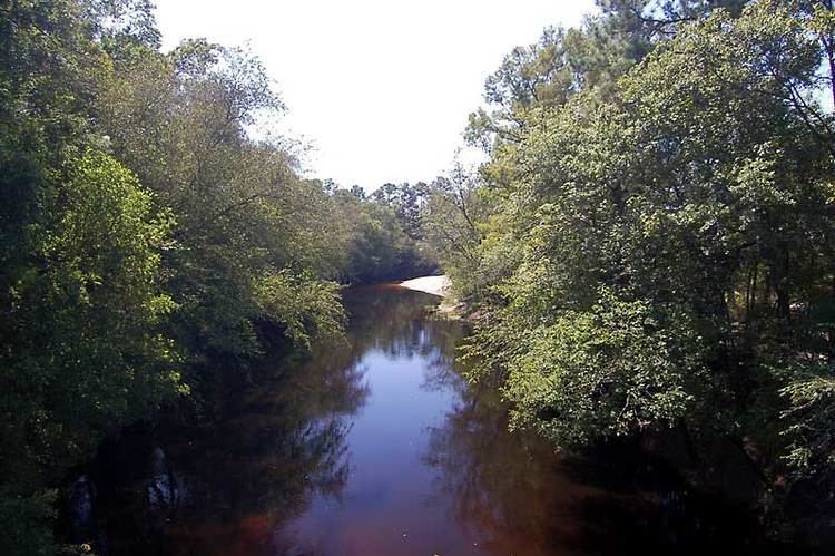
The Northeast Cape Fear River is a blackwater river tributary of the Cape Fear River, approximately 130 mi (209 km) long, in southeastern North Carolina in the United States.
Contents
- Map of Northeast Cape Fear River North Carolina USA
- HistoryEdit
- Animals and plantsEdit
- BridgesEdit
- References
Map of Northeast Cape Fear River, North Carolina, USA
HistoryEdit
It rises in southeast Wayne County, appromiately 10 mi (16 km) south of Goldsboro and flows south, past Albertson, Hallsville, and Chinquapin. In Pender County near the Atlantic coast, it passes along the west side of Angola Swamp and Holly Shelter Swamp. It joins the Cape Fear River on the north end of Wilmington, forming an estuary that emerges at Cape Fear. The lower 50 mi (80 km) of the river is tidal.
Animals and plantsEdit
The river and its valley are home to a variety of interesting and uncommon flora and fauna, including the palmetto, cypress, alligator, pileated woodpecker and bowfin.