
Founded December 29, 1824 Area 1,818 km² Unemployment rate 4.6% (Apr 2015) | Website www.leoncountyfl.gov Population 281,845 (2013) County seat Tallahassee | |
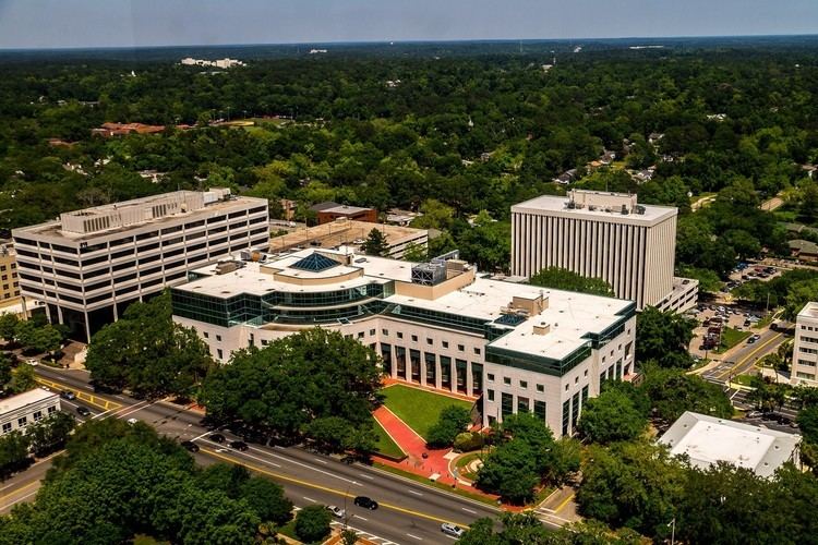 | ||
Colleges and Universities Florida State University, Florida A&M University, Tallahassee Community College, Lively Technical Center, Flagler College – Tallahass Points of interest San Luis de Apalache, Museum of Florida History, Florida State Capitol, Alfred B Maclay Gardens, Lake Jackson Mounds | ||
Leon County is a county located in the U.S. state of Florida. As of the 2010 census, the population was 275,487. The county seat is Tallahassee, which also serves as the state capital. The county is named after the Spanish explorer Juan Ponce de León.
Contents
- Map of Leon County FL USA
- History
- Geography
- National protected area
- Bodies of water
- Adjacent counties
- Airports
- Major highways
- Geology
- Terraces and shorelines
- Geologic formations
- Race
- Age
- Education
- Income
- Accolades
- Voting trends
- Voter turnout
- County representation
- Consolidation with Tallahassee
- US Congressional representatives
- State Representatives
- State Senator
- Public safety
- High schools
- Libraries
- Paleontology
- City
- Census designated place
- Defunct entity
- References
Map of Leon County, FL, USA
Leon County is included in the Tallahassee, FL Metropolitan Statistical Area. Tallahassee is home to two of Florida's major public universities, Florida State University and Florida A&M University. Leon County residents have the highest average level of education among Florida's 67 counties.
History
Originally part of Escambia and later Gadsden County, Leon County was created in 1824. It was named after Juan Ponce de León, the Spanish explorer who was the first European to reach Florida. During the 1850s and 1860s, Leon County was a "cotton kingdom" and ranked fifth of all Florida and Georgia counties in the production of cotton from the 20 major plantations. Unique among Confederate capitals east of the Mississippi River in the American Civil War, Tallahassee was never captured by Union forces, and no Union soldiers set foot in Leon County until Reconstruction.
Also see Plantations of Leon County.Geography
According to the U.S. Census Bureau, the county has a total area of 702 square miles (1,820 km2), of which 667 square miles (1,730 km2) are land and 35 square miles (91 km2) (5.0%) are water. Unlike much of Florida, most of Leon County has rolling hills, part of north Florida's Red Hills Region. The highest point is 280 feet (85 m), located in the northern part of the county.
National protected area
Bodies of water
Adjacent counties
Airports
Major highways
Geology
Leon County sits atop basement rock composed of basalts of the Triassic and Jurassic from ~251—145 million years ago interlayered with Mesozoic sedimentary rocks. The layers above the basement are carbonate rock created from dying foraminifera, bryozoa, mollusks, and corals from as early as the Paleocene, a period of ~66—55.8 Ma.
During the Eocene (~55.8—33.9 Ma) and Oligocene (~33.9—23 Ma), the Appalachian Mountains began to uplift and the erosion rate increased enough to fill the Gulf Trough with quartz sands, silts, and clays via rivers and streams. The first sedimentation layer in Leon County is the Oligocene Suwannee Limestone in the southeastern part of the county as stated by the United States Geological Survey and Florida Geological Survey.
The Early Miocene (~23.03—15.7 Ma) sedimentation in Leon County is Hawthorn Group, Torreya Formation and St. Marks Formation and found in the northern two-thirds of the county.
The Pliocene (~5.332—2.588 Ma) is represented by the Miccosukee Formation scattered within the Torreya Formation.
Sediments were laid down from the Pleistocene epoch (~2.588 million—12 000 years ago) through Holocene epoch (~12,000—present) and are designated Beach ridge and trail and undifferentiated sediments.
Terraces and shorelines
During the Pleistocene, what would be Leon County emerged and submerged with each glacial and interglacial period. Interglacials created the topography of Leon as it is known now.
Also See Leon County Pleistocene coastal terraces
Also see: Florida Platform and Lithostratigraphy
Geologic formations
Race
As of the census of 2010, there were 275,487 people, and 108,592 households residing in the county. The population density was 413.2 people per square mile (159.5/km²). There were 123,423 housing units at an average density of 185 per square mile (71.4/km²). The racial makeup of the county was 63.0% White, 30.3% Black or African American, 0.3% Native American, 2.9% Asian, 0.1% Pacific Islander, and 2.2% from two or more races. 5.6% of the population were Hispanic or Latino of any race.
Age
There were 108,592 households out of which 24.2% had children under the age of 18 living with them, 36.9% were married couples living together, 13.1% had a female householder with no husband present, and 45.8% were non-families. 31.0% of all households were made up of individuals and 6.1% had someone living alone who was 65 years of age or older. The average household size was 2.29 and the average family size was 2.92.
In the county, the population was spread out with 20.0% under the age of 18, 26.3% from 18 to 24, 22.7% from 25 to 44, 22.4% from 45 to 64, and 8.7% who were 65 years of age or older. The median age was 27.8 years. For every 100 females there were 91.57 males. For every 100 females age 18 and over, there were 89.03 males.
Education
The adult citizens of Leon County enjoy the highest level of education in the state of Florida followed by Alachua County with a total of 67.8%.
Source of above:
Income
The median income for a household in the county was $37,517, and the median income for a family was $52,962. Males had a median income of $35,235 versus $28,110 for females. The per capita income for the county was $21,024. About 9.40% of families and 18.20% of the population were below the poverty line, including 16.20% of those under age 18 and 8.20% of those age 65 or over.
Accolades
Voting trends
Leon County is a traditional blue county and has usually voted Democratic. This is likely due to Florida State University and Florida A&M University in Tallahassee, as well as the concentration of government employees in the capital city.
Voter turnout
Leon County has had the highest voter turnout of all counties in Florida. For the 2008 general election, Leon County had a record setting early voting and vote by mail with a voter turnout of 85%.
County representation
Consolidation with Tallahassee
Voters of Leon County have gone to the polls four times to vote on consolidation of Tallahassee and Leon County governments into one jurisdiction combining police and other city services with already shared (consolidated) Tallahassee Fire Department, Tallahassee/Leon County Planning Department, and Leon County Emergency Medical Services. Tallahassee's city limits would (at current size) increase from 98.2 square miles (254 km2) to 702 square miles (1,820 km2). Roughly 36 percent of Leon County's 250,000 residents live outside the Tallahassee city limits.
The proponents of consolidation have stated that the new jurisdiction would attract business by its very size. Merging of governments would cut government waste, duplication of services, etc. However Professor Richard Feiock states that no discernible relationship exists between consolidation and the local economy.
U.S. Congressional representatives
The northern portion of Leon County, including Tallahassee, is located in the 5th Congressional District, which is currently represented by Al Lawson (D). The remainder of the county is in the 2nd Congressional District, currently represented by Neal Dunn (R).
State Representatives
Rep. Michelle Rehwinkel Vasilinda (D), District 9, represents the northern half of Leon County including most of Tallahassee. Rep. Halsey Beshears (R), District 7, represents the southern portion of the county. Rep. Alan Williams (D), District 8, also represents a west-central portion of the county.
State Senator
All of Leon County is represented by Bill Montford (D) District 3 in the Florida Senate.
Public safety
The law enforcement agency charged with countywide policing is the Leon County Sheriff's Office. Fire and Emergency medical services provided by the Tallahassee Fire Department and Leon County Emergency Medical Services respectively.
Education
Public schools in Leon County are administered and under the operation of the Leon County School District. LCS is operated by a superintendent, 5 board members, and 1 Student Representative. There are:
High schools
Newsweek Magazine's "The Top of the Class" (1300 schools) for 2008 lists 4 out of 5 Leon County's 5 public high schools in the top 400 in the United States.
Libraries
Leon County has 7 branches that serve the area.
The official name of the library system is the LeRoy Collins Leon County Public Library. The name was changed on September 17, 1993 from the original name of the Leon County Public Library in honor of LeRoy Collins, the 33rd Governor of Florida.
Paleontology
Three sites within Leon County have yielded fossil remnants of the Miocene epoch. The article Leon County, Florida paleontological sites includes the Griscom Plantation Site, Seaboard Air Line Railroad Site, and Tallahassee Waterworks Site with fossils by genus and species.