
- elevation 1,280 m (4,199 ft) - elevation 1,010 m (3,314 ft) | ||
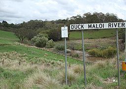 | ||
Duckmaloi River, a perennial stream that is part of the Macquarie catchment within the Murray–Darling basin, is located in the Central Tablelands region of New South Wales, Australia.
Map of Duckmaloi River, New South Wales, Australia
The Duckmaloi River rises on the western slopes of the Great Dividing Range east of Shooters Hill, and flows generally to the north by east, where it forms its confluence with the Fish River near Oberon; dropping 265 metres (869 ft) over the course of its 27 kilometres (17 mi) length.
A small weir on the river, called the Duckmaloi Weir, forms part of the Fish River Water Supply Scheme and was constructed during 1963. The Scheme supplies water to Oberon and Lithgow Councils and the Sydney Catchment Authority for town water supplies, as well as Wallerawang and Mount Piper power stations owned by Delta Electricity for power generation purposes. The waters surrounding the weir are a site for a large platypus colony.