
Population 50,627 (2016 est.) Area 7,536 km² | Administrator Michael Kniepp State electorate(s) Dubbo Founded 12 May 2016 | |
 | ||
Established 12 May 2016 (2016-05-12) | ||
The Dubbo Regional Council is a local government area located in the Central West and Orana regions of New South Wales, Australia. The council was formed on 12 May 2016 through a merger of the City of Dubbo and Wellington Council. Originally named Western Plains Regional Council, the name was changed to Dubbo Regional Council on 7 September 2016.
Contents
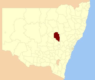
Map of Dubbo, NSW, Australia
The council comprises an area of 7,536 square kilometres (2,910 sq mi) and occupies part of the central western plains of New South Wales, surrounding the regional centre of Dubbo. At the time of its establishment the council had an estimated population of 50,627.
The Administrator of Dubbo Regional Council is Michael Kniepp, until the elections for councillors to take place on 9 September 2017.
Towns and localities
As well as the regional centre of Dubbo, the following towns and localities are located within Dubbo Regional Council
:
Demographics
The population for the predecessor councils was estimated in 2015 as:
Council
Once elected, the Dubbo Regional Council will comprise 10 Councillors elected proportionally; two each from five wards—Dubbo Central, Dubbo East, Dubbo North, Dubbo South and Wellington Wards. All Councillors are expected to be elected for a fixed four-year term of office with effect from 9 September 2017.