
Population 8,493 (2011 census) | ||
 | ||
Abolished 12 May 2016 (2016-05-12) Area 4,113 km (1,588.0 sq mi) Mayor Anne Jones (Independent) | ||
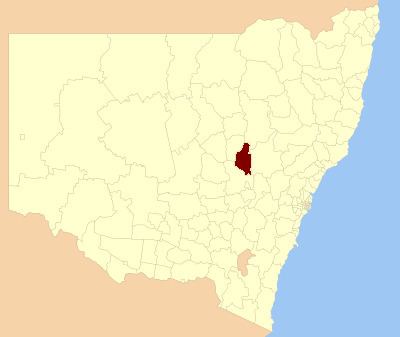
Wellington Council was a local government area in the Orana region of New South Wales, Australia. The former area is located adjacent to the Macquarie River and the Mitchell Highway.
Contents
Map of Wellington, New Zealand
A 2015 review of local government boundaries recommended that the Wellington Council merge with the City of Dubbo to form a new council with an area of 7,536 square kilometres (2,910 sq mi) and support a population of approximately 51,000. Following an independent review, on 12 May 2016 the Minister for Local Government announced the dissolution of the Welington Shire Council and the Dubbo City Council, together with the establishment of the Western Plains Regional Council with immediate effect.
The former Wellington Council area included Wellington, Maryvale, Geurie, North Yeoval, Dripstone, Mumbil, Stuart Town and Euchareena.
The final Mayor of Wellington Council was Clr. Anne Jones, an independent politician.
Former composition and election method
Prior to its dissolution, Wellington Council was composed of nine Councillors elected proportionally as a single ward. All Councillors were elected for a fixed four-year term of office. The Mayor was elected by the Councillors at the first meeting of the Council. The most recent election was held on 8 September 2012, and the makeup of the former Council was as follows:
The final Council, elected in 2012 and dissolved in 2016, in order of election, was: