
Primary inflows Area 10.03 km² | Primary outflows Drag River Max. depth 55 m (180 ft) Surface elevation 354 m Outflow location Drag River | |
 | ||
Surface area 1,003 hectares (2,478 acres) Frozen Mid-December to Late April | ||
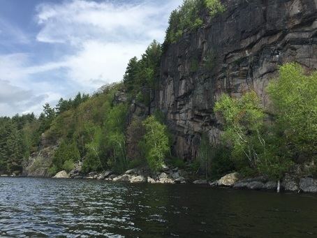
Drag lake public beach draglake
Drag Lake is a glacial lake in the township of Dysart et al in Haliburton County, Southern Ontario, Canada.
Contents
- Drag lake public beach draglake
- Map of Drag Lake Dysart and Others ON Canada
- Water access only beach on drag lake dslpoa draglake
- References
Map of Drag Lake, Dysart and Others, ON, Canada
The lake is in Great Lakes Basin, and its primary inflow, at the east, and outflow, at the west and controlled by a dam, is the Drag River.
Residents of Drag Lake are represented by the Drag and Spruce Lake Property Owners Association.
Water access only beach on drag lake dslpoa draglake
References
Drag Lake Wikipedia(Text) CC BY-SA