
Population 12,125 (2011) Sovereign state United Kingdom Local time Saturday 3:30 AM Civil parish Downend and Bromley Heath UK parliament constituency Filton and Bradley Stoke | OS grid reference ST650774 Post town BRISTOL Dialling code 0117 | |
 | ||
Weather 10°C, Wind SE at 11 km/h, 95% Humidity | ||
Downend is a suburb of Bristol in Gloucestershire, England. It is in the South Gloucestershire local district, located to the north east of Bristol and bordered by the Bristol city suburb of Fishponds to its south west and the South Gloucestershire suburbs of Staple Hill to the south, Frenchay to the west and Mangotsfield to the east.
Contents
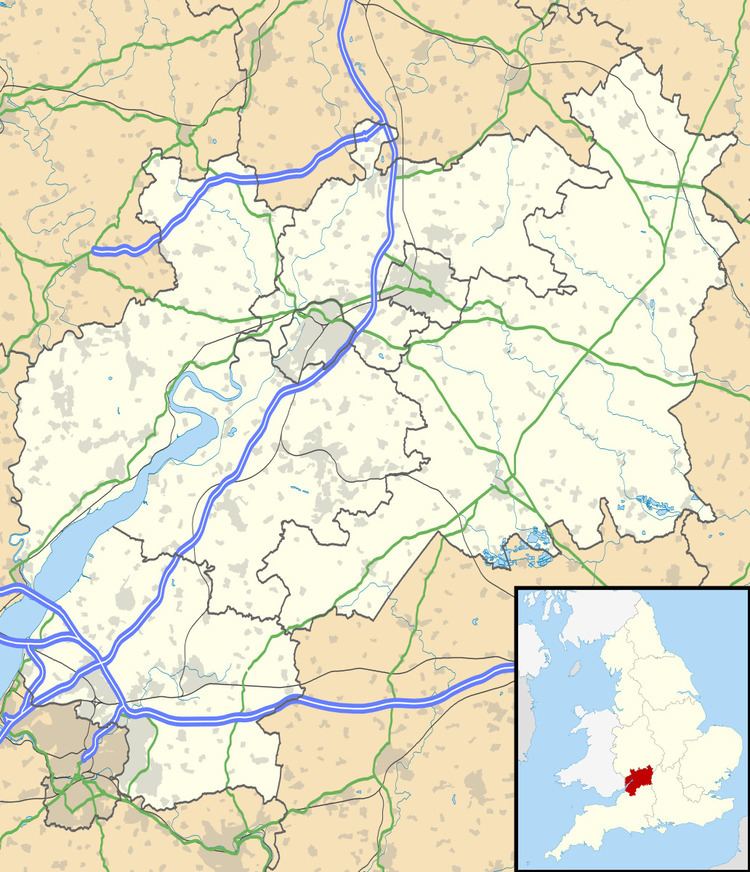
Map of Downend, Bristol, UK
Governance
An electoral ward in the same name exists. The total population of the ward at the 2011 census was 10,785.
Historical associations
W. G. Grace, the cricketer, was born at Downend House on North Street.
References
Downend, South Gloucestershire Wikipedia(Text) CC BY-SA