Population 12,439 (2011 Census) Civil parish Mangotsfield Rural Local time Monday 2:32 AM UK parliament constituency Kingswood | OS grid reference ST641780 Unitary authority Dialling code 0117 | |
 | ||
Weather 11°C, Wind SW at 16 km/h, 97% Humidity | ||
Mangotsfield is an urban area in the unitary authority of South Gloucestershire, in North-East Bristol.
Contents
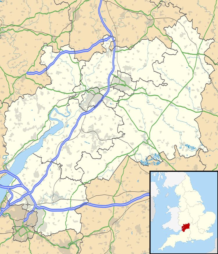
Map of Mangotsfield Rural, UK
The village was mentioned in the Domesday Book in 1086 as Manegodesfelle, and as Manegodesfeld in 1377.
Sport and leisure
Mangotsfield is the home of Mangotsfield United F.C. and Cleve R.F.C. Rodway Hill is a favourite spot for dog walkers and the starting point of many pigeon races.
Education and schools
There is one secondary school in Mangotsfield: Mangotsfield School (A Specialist College in Engineering and Science).
References
Mangotsfield Wikipedia(Text) CC BY-SA
