
River mouth Tarn245 m (804 ft) Length 87 km | Basin size 658 km (254 sq mi) Basin area 658 km² | |
 | ||
Main source in Murat-sur-Vèbre1,079 m (3,540 ft) Discharge Average rate:12.1 m/s (430 cu ft/s) | ||
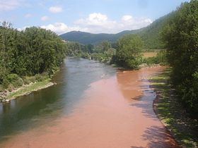
The Dourdou de Camarès is an 86.9 km (54.0 mi) long river in the Tarn, Hérault and Aveyron départements, southern France. Its source is in the Parc naturel régional du Haut-Languedoc, in the commune of Murat-sur-Vèbre, 5.5 km (3.4 mi) southeast of the village. It flows generally northwest. It is a left tributary of the Tarn into which it flows at Broquiès, 1.2 km (0.75 mi) southwest of the village.
Contents
Map of Le Dourdou, France
Its main tributary is the Sorgues.
Départements and communes along its course
The following list is ordered from source to mouth :
References
Dourdou de Camarès Wikipedia(Text) CC BY-SA