
Canton Belmont-sur-Rance Area 41.57 km² | Region Occitanie Intercommunality Rougier de Camarès Local time Saturday 6:32 AM | |
 | ||
Weather 9°C, Wind W at 23 km/h, 85% Humidity | ||
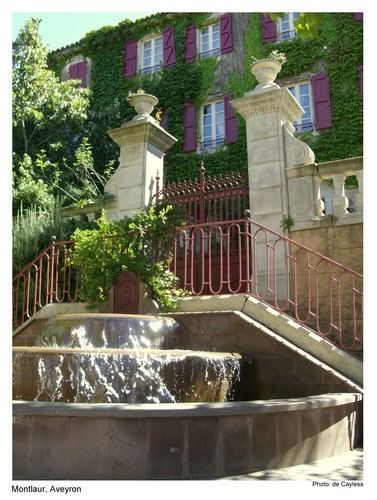
Montlaur is a commune in the Aveyron department in southern France.
Contents
Map of 12400 Montlaur, France
Geography
The Dourdou de Camarès forms part of the commune's southeastern border, flows northwestward through the middle of the commune, then forms part of its northwestern border.
The village lies in the northern part of the commune, on the left bank of the Dourdou de Camarès.
References
Montlaur, Aveyron Wikipedia(Text) CC BY-SA