
Intercommunality Rougier de Camarès Area 41.86 km² | Region Occitanie Canton Camarès Population (2008) 975 Local time Tuesday 5:59 AM | |
 | ||
Weather 6°C, Wind NW at 34 km/h, 81% Humidity | ||
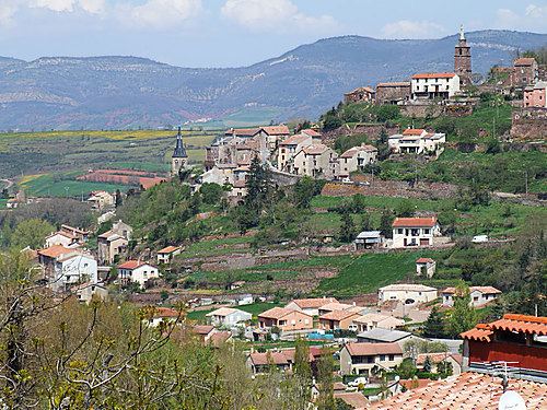
Camarès is a commune in the Aveyron department in southern France.
Contents
Map of 12360 Camar%C3%A8s, France
Geography
Situated 23 kilometres south of Saint-Affrique and 80 kilometres from Béziers, the commune is traversed by the Dourdou de Camarès and sits at the foot of the Monts de Lacaune.
Its red soil, le rougier, is a schistose sandstone. It covers a rich substrate which was exploited for the first mines of copper and argentiferous lead during the Gallo-Roman era.
The commune includes a thermal basin with springs that are no longer in use today: Prugnes les eaux, Andabre, Le Cayla et Sylvanès (eau thermale).
References
Camarès Wikipedia(Text) CC BY-SA