
Prominence 1,165 m | Elevation 2,436 m | |
 | ||
Similar Burnt Peak, Antimony Peak, Eagle Rest Peak, Breckenridge Mountain, Owens Peak | ||
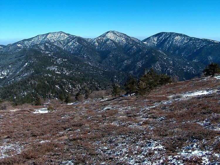
Double Mountain is the highest point in the Tehachapi Mountains of California. It has two summits of nearly the same elevation. It is south of the town of Tehachapi, Highway 58 and Tehachapi Pass. Due to its elevation, the mountain receives snowfall during the winter.
Contents
Map of Double Mountain, California 93561, USA
Natural historyEdit
South of Double Mountain the Tehachapi Range has a large rounded crest, whose eastern flank is quite steep. This crest is the southern terminus of the range of the hybrid Alvord oak, Quercus × alvordiana.
References
Double Mountain (California) Wikipedia(Text) CC BY-SA