
OS grid reference SK464662 Post town CHESTERFIELD Local time Thursday 11:48 AM | Sovereign state United Kingdom Postcode district S44 | |
 | ||
Weather 11°C, Wind W at 35 km/h, 57% Humidity | ||
Two lancs flying over doe lea derbyshire
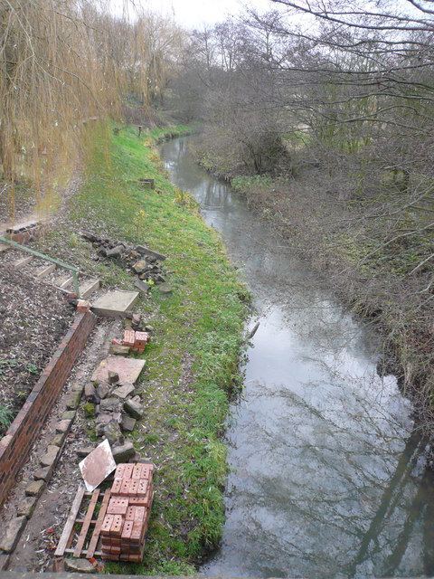
Doe Lea is a small, linear village in the English county of Derbyshire. It is in the Bolsover district of the county and falls in the Ault Hucknall civil parish. The village runs along the old A617 road. A newer dual carriageway (currently the A617) runs parallel to it. The village is also immediately adjacent to junction 29 of the M1 motorway, like its neighbouring village Heath. Hardwick Hall is nearby. In 2005 the river and banks were given a makeover. A new path was put down, about 30 new trees were planted, the path was called Willow walk and was opened by The Right Hon Dennis Skinner, MP. The work was carried out by The DoeLea Valley Community Partnership a group of volunteers from Doe Lea and surrounding areas, work is still being carried out and is still being maintained by the group.
Contents
Map of Doe Lea, Chesterfield, UK
The village has a public house and a community centre. The River Doe Lea runs through the village, and Doe Lea local nature reserve is located nearby.
Doe Lea is near to the villages of Bramley Vale, Glapwell, Heath and Stainsby, the latter of which is host of the annual Stainsby Festival.