Climate Cfa Elevation 541 m Local time Saturday 9:06 AM | Post code 28510 Website www.dogankent.bel.tr District area 122.9 km² | |
 | ||
Weather 12°C, Wind SE at 14 km/h, 56% Humidity | ||
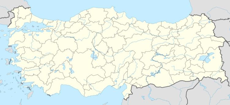
Doğankent is a town and a district of Giresun Province in the Black Sea region of Turkey.
Contents
- Map of DoC49Fankent Merkez Mahallesi 28510 DoC49Fankent2FGiresun Turkey
- Geography
- Etymology
- History
- References
Map of Do%C4%9Fankent, Merkez Mahallesi, 28510 Do%C4%9Fankent%2FGiresun, Turkey
Geography
Doğankent is a hilly district in the valley of the Harşit. The climate is typical of the Black Sea region; lots of rain, summer and winter.
Doğankent is a small town of 3,383 people, providing high schools and other basic amenities to the surrounding villages.
Etymology
Previously known as Kürtün-ü Zir, Manastır Bükü and Harşit.
History
There was a monastery here in the Byzantine period, hence the earlier name. The area was settled by Seljuk Turks following their victory over the Byzantines at the Battle of Malazgirt and was then absorbed into the Ottoman Empire in 1461 by Sultan Mehmet II during his conquest of the rump-Byzantine Empire of Trebizond. The areas importance as a centre of education persisted as the monasteries were converted into Islamic medrese.
