
Country United States Time zone CST (UTC-6) Area 139.8 km² Population 642 (2010) | Established November 6, 1860 Elevation 234 m Local time Wednesday 6:52 PM | |
 | ||
ZIP codes 60933, 60936, 60952, 60957 Weather 9°C, Wind W at 11 km/h, 43% Humidity | ||
Dix Township is one of twelve townships in Ford County, Illinois, USA. As of the 2010 census, its population was 642 and it contained 284 housing units.
Contents
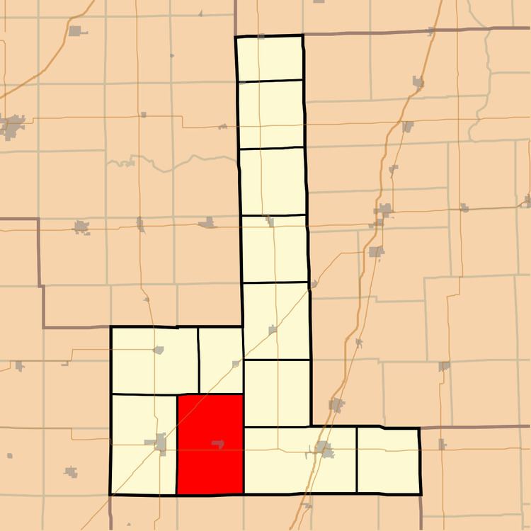
- Map of Dix Township IL USA
- History
- Geography
- Cities towns villages
- Unincorporated towns
- Cemeteries
- Major highways
- Airports and landing strips
- School districts
- Political districts
- References
Map of Dix Township, IL, USA
History
Dix Township was originally named Drummer Grove Township; on September 2, 1864 it was renamed named in honor of John Adams Dix.
Geography
According to the 2010 census, the township has a total area of 53.99 square miles (139.8 km2), of which 53.93 square miles (139.7 km2) (or 99.89%) is land and 0.06 square miles (0.16 km2) (or 0.11%) is water.
Cities, towns, villages
Unincorporated towns
Cemeteries
The township contains these three cemeteries: Blackford, Oregon, and Pontoppidan.
Major highways
Airports and landing strips
School districts
Political districts
References
Dix Township, Ford County, Illinois Wikipedia(Text) CC BY-SA