
Existed: 1972 – present Constructed 1972 | Length 176 km | |
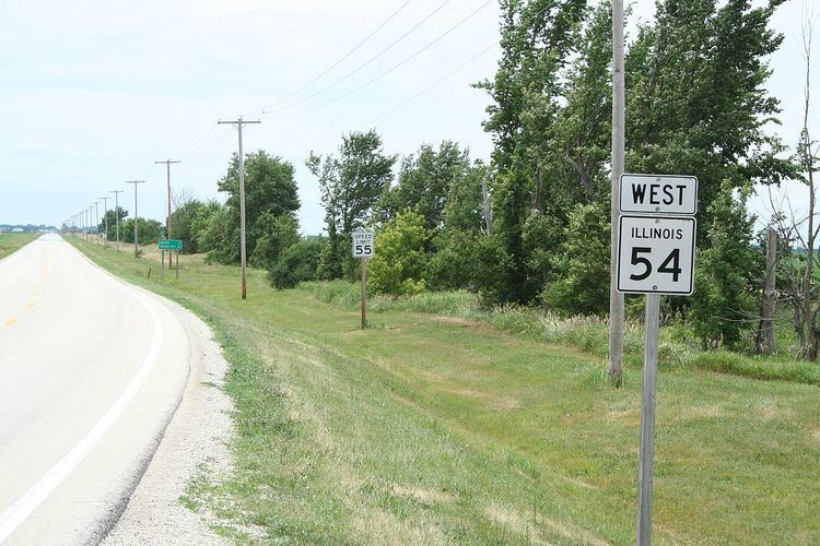 | ||
Illinois Route 54 is an east–west highway in east-central Illinois. It passes through the cities of Clinton, Gibson City, and Onarga. Its western terminus is at Interstate 55 in Springfield. Its eastern terminus is at U.S. Route 45 at Onarga, one mile (1.6 km) east of Interstate 57. This is a distance of 109.35 miles (175.98 km).
Contents
Map of IL-54, Illinois, USA
Route description
Illinois 54 runs southwest-to-northeast from Springfield. It is now mainly a local road, as Interstates 55 and 57 have become preferred for long distance travel in the region.
History
Until 1972, Illinois 54 was signed as U.S. Route 54. U.S. 54 now terminates between Pittsfield and Griggsville at mile marker 35 on Interstate 72/U.S. Route 36. The U.S. 54 alignment between this point and Illinois 54's current western terminus has since been replaced by the combined Interstate 72/U.S. 36 freeway and Interstate 55. This is a gap of 78 miles (126 km).