
Length 128 km | Country United States of America | |
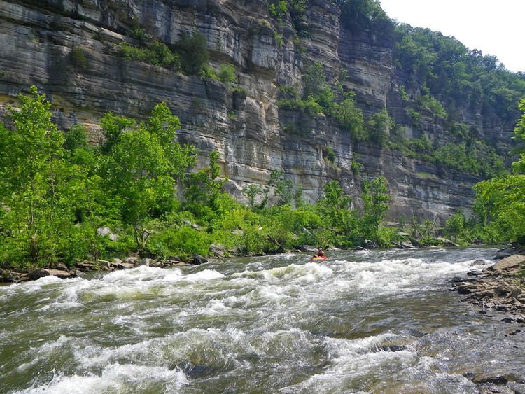 | ||
The dix river experience
The Dix River is a 79.3-mile-long (127.6 km) tributary of the Kentucky River in central Kentucky in the United States.
Contents
Map of Dix River, Kentucky, USA
It begins in western Rockcastle County, about 5 miles (8 km) west of Mount Vernon. It flows generally northwest, in a tight meandering course, passing north of Stanford and east of Danville. Southeast of Danville it is impounded by the Dix Dam to form the Herrington Lake reservoir. The river then flows about 2 miles (3 km) before joining the Kentucky River near High Bridge, about 20 miles (32 km) southwest of Lexington, in the region of the Kentucky River Palisades.
The watershed of the river is largely agricultural land, with undulating hills over a bed of limestone. The river is a popular destination for fly fishing, in particular for varieties of bass. Occasionally, recreational kayakers and canoeists can be found on tame day trips. Water levels are Class I+ with possible mild class II.