
Postal Code 537090 Local time Wednesday 9:26 PM | Time zone EET (UTC+2) Area code(s) +40 266 | |
 | ||
Weather 3°C, Wind NE at 10 km/h, 99% Humidity | ||
Ditrău ([diˈtrɘu]; Hungarian: Ditró or Gyergyóditró [ˈɟɛrɟoːditroː]) is a commune in Harghita County, Romania. It is composed of three villages:
Contents
- Map of DitrC483u 537090 Romania
- History
- Demographics
- Economy
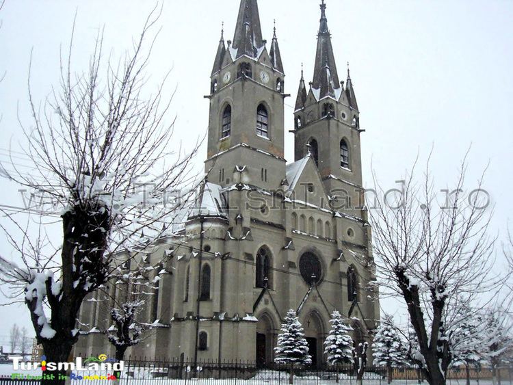
- Local legends and tales
- Tourist attractions
- Natives
- Twinnings
- References
Map of Ditr%C4%83u 537090, Romania
It sits near Martonca River, above 714 m from the sea level. The highest point of Ditrău is the Piricske height. Ditrău was first registered in 1567, as Gitró, with 26 gates. There is a significant syenite reserve near the village.
History
The villages belonged first to the Székely seat of Gyergyószék, which was subsequently absorbed into Csíkszék, until the administrative reform of Transylvania in 1876, when they fell within the Csík County in the Kingdom of Hungary. After the Treaty of Trianon of 1920, they became part of Romania and fell within Ciuc County during the interwar period. In 1940, the second Vienna Award granted the Northern Transylvania to Hungary and the villages were held by Hungary until 1944. After Soviet occupation, the Romanian administration returned and the commune became officially part of Romania in 1947. Between 1952 and 1960, the commune fell within the Hungarian Autonomous Province, between 1960 and 1968 the Mureș-Hungarian Autonomous Province. In 1968, the province was abolished, and since then, the commune has been part of Harghita County
Demographics
The commune has an absolute Székely (Hungarian) majority. According to the 2002 census it has a population of 5,480 of which 98.87% or 5,418 are Hungarian.
Economy
Once upon a time, the village was known for its mining activity - the ditroit, a marble-like sodalite stone used in construction.
Local legends and tales
To be continued.