
PIN 148035 Elevation 236 m Local time Wednesday 10:57 AM | Time zone IST (UTC+5:30) Telephone code 01676 Population 16,952 (2011) Area code 01676 | |
 | ||
Weather 22°C, Wind SE at 13 km/h, 54% Humidity | ||
Baba bairsiana sahib charitable hospital dirba
Dirba is a town and a nagar panchayat in Sangrur district in the state of Punjab, India. It is located on higher place and was also known as Thadde wala, with time, the name changed to Dirba.
Contents
- Baba bairsiana sahib charitable hospital dirba
- Map of Dirba Punjab 148035
- Geography
- Education
- Sports
- How to reach Dirba
- Computer Literacy
- References
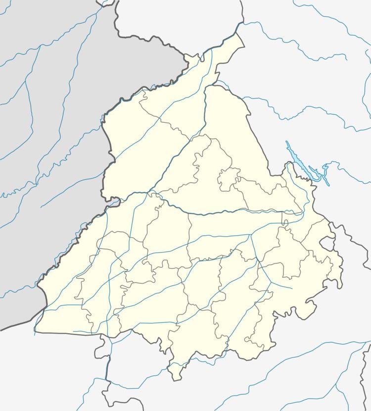
Map of Dirba, Punjab 148035
Geography
Dirba is located at 30.07°N 75.98°E / 30.07; 75.98. It has an average elevation of 236 metres (774 feet). .MLA of Dirba is Sr. Balbir Singh Ghunas. Most of the residents relies on Agriculture directly or indirectly. Rice and Wheat are the only two crops which is grown in most farms. Youth leader of SAD(B) is Engg.Amandeep singh maur in dirba constituency.
Education
Dirba have many schools for high school education. A college for girls is also present for Arts stream. There is no college for boys so they have to go to nearby cities like Sangrur or Patiala for college education.
Schools in area:
Colleges in area:
Sports
Dirba is hub of kabaddi in Punjab. There are two major Kabaddi academies. International tournaments take place every year in Kabaddi Stadium, Dirba. One Player from Dirba is member National Indian Kabaddi team.
How to reach Dirba
It is well linked with Patiala (70 km), Sunam (24 km) and Sangrur (27 km) cities by road. It is located on NH-71. The nearest railway station is Sangrur railway station, which is located 25 km from Dirba and the nearest airport is Ludhiana which is 102 km from Dirba.
Computer Literacy
From Computer Education view there are few coaching centers in Dirba town.Prem computer centre Stadium Road is well known Computer Education Center where many free camps are held to provide education to the students and Dhiman Computers & Cafe