
Admin. region Düsseldorf Elevation 20 - 113 m (−351 ft) Local time Wednesday 1:10 AM | District Wesel Time zone CET/CEST (UTC+1/+2) Population 69,472 (31 Dec 2010) | |
 | ||
Weather 3°C, Wind S at 8 km/h, 98% Humidity Points of interest Museum Voswinckelshof, Halde Lohberg, Kunstinsel | ||
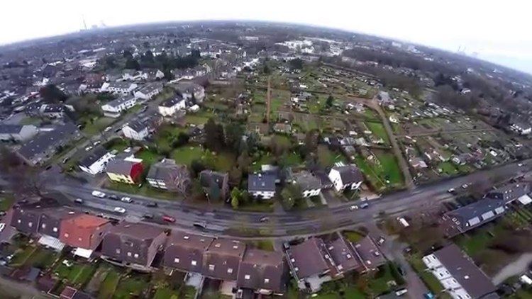
Dinslaken is a town in the district of Wesel, in North Rhine-Westphalia, Germany. It is known for its harness racing track, its now closed coal mine in Lohberg and its wealthy neighborhoods Hiesfeld and Eppinghoven.
Contents
- Map of Dinslaken Germany
- Geography
- Neighbouring municipalities
- Division of the town
- Sights
- International relations
- Sons and daughters of the town
- References
Map of Dinslaken, Germany
Geography
Dinslaken is a city of the Lower Rhine region and situated at the northwestern margin of the Ruhr area, approx. 15 kilometres (9 miles) north of Duisburg.
Neighbouring municipalities
Division of the town
Dinslaken consists of 7 subdivisions
Sights
The medieval parish church, St. Vincentius, was heavily damaged during World War II, but was rebuilt from 1951 to 1952.
International relations
Dinslaken's twin towns include:
Sons and daughters of the town
References
Dinslaken Wikipedia(Text) CC BY-SA