
Admin. region Düsseldorf Elevation 26 m (85 ft) Area 53.49 km² Local time Tuesday 7:39 PM | Time zone CET/CEST (UTC+1/+2) Population 37,406 (31 Dec 2010) Postal code 46562 | |
 | ||
Weather 15°C, Wind N at 10 km/h, 43% Humidity | ||
Voerde is a town in the district of Wesel, in North Rhine-Westphalia, Germany. It is situated on the right bank of the Rhine, approximately 10 kilometres (6.2 mi) south-east of Wesel, and 20 km north of Duisburg.
Contents
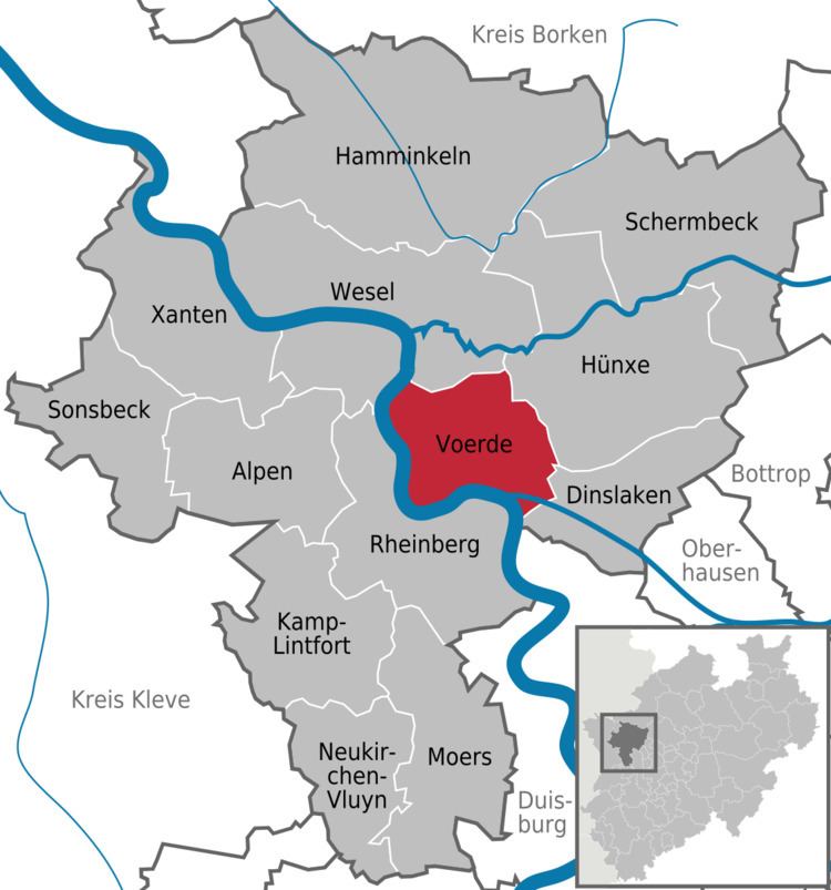
Map of Voerde, Germany
City structure
According to art. 1(3) of the Main Charter of the town the municipal area is divided into the 11 quarters of Götterswickerhamm, Löhnen, Mehrum, Möllen, Voerde, Stockum, Holthausen, Friedrichsfeld, Emmelsum, Spellen and Ork. These quarters are, however, not localities in the sense of art. 39 of the North-Rhine Westphalian Municipal Code (GO NW).
History
Voerde owes its name to a ford crossing a branch of the River Rhine, which existed there during Roman and Frankish times (the old spelling for Furt was "Fuerdt"). In 1244 the town was mentioned in records for the first time as a fiefdom and castle of the abbey of Werden.
Buildings and constructions
Twinned cities
Voerde is twinned with: