
Country Germany Area 77.04 km2 | ||
 | ||
Points of interest Gasometer Oberhausen, Konig Pilsener Arena, LVR Industrial Museum, Metronom Theater | ||
District Urban districts of Germany | ||
Map of Oberhausen
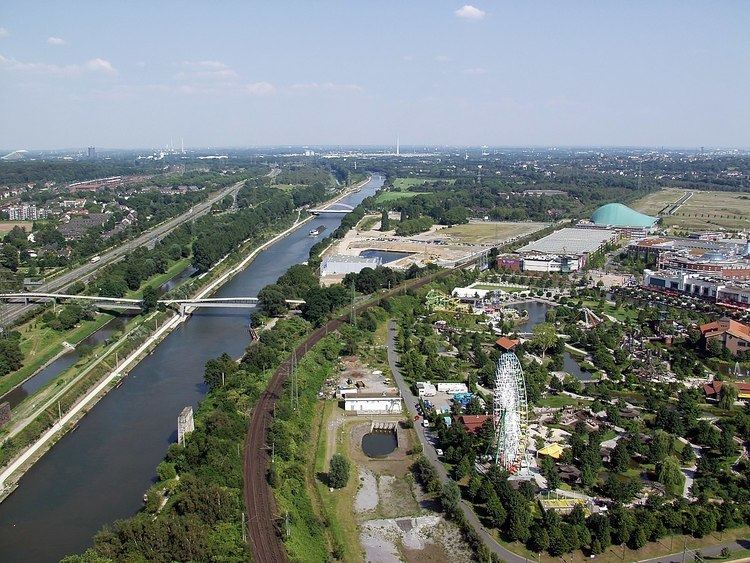
Oberhausen ( [ˈoːbɐhaʊzn̩]) is a city on the river Emscher in the Ruhr Area, Germany, located between Duisburg and Essen (c. 13 km or 8.1 mi). The city hosts the International Short Film Festival Oberhausen and its Gasometer Oberhausen is an anchor point of the European Route of Industrial Heritage.
Contents
- Map of Oberhausen
- Myballoon playground live in oberhausen
- History
- Demographics
- Twin towns Sister cities
- Born before 1935
- Born after 1935
- References
Myballoon playground live in oberhausen
History
Oberhausen was named for its 1847 railway station which had taken its name from the Oberhausen Castle (German: Schloss Oberhausen). The new borough was formed in 1862 following inflow of people for the local coal mines and steel mills. Awarded town rights in 1874, Oberhausen absorbed several neighbouring boroughs including Alstaden, parts of Styrum and Dümpten in 1910. Oberhausen became a city in 1901, and they incorporated the towns of Sterkrade and Osterfeld in 1929. The Ruhrchemie AG synthetic oil plant ("Oberhausen-Holten" or "Sterkrade/Holten") was a bombing target of the Oil Campaign of World War II, and the US Forces had reached the plant by 4 April 1945.
In 1973 Thyssen employed 14,000 people in Oberhausen in the steel industry, but ten years later the number had fallen to 6,000.
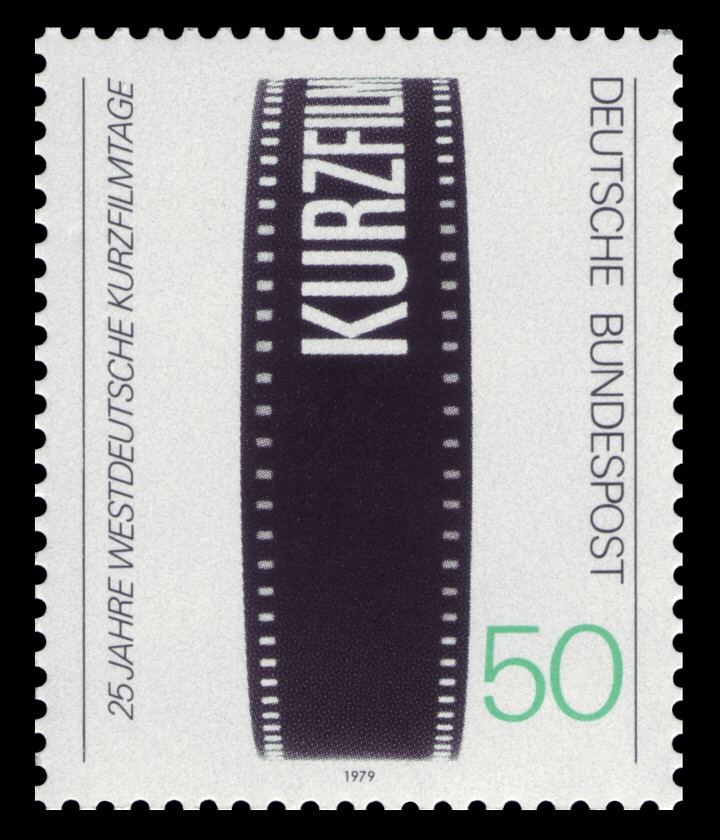
In 1954 the city began hosting the International Short Film Festival Oberhausen, and the 1982 Deutscher Filmpreis was awarded to a group that wrote the Oberhausen Manifesto.
Demographics
The age breakdown of the population (2013) is:
There were 12.5% non-Germans living in Oberhausen, as of 2014.
The unemployment rate is 10.0% (Dec 2015).
Twin towns – Sister cities
Oberhausen is twinned with: