
Website Official Map of Dimla | Time zone BST (UTC+6) Area 326.8 km² | |
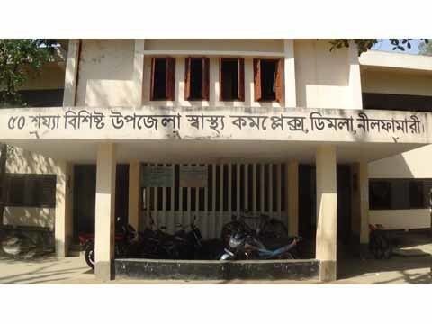 | ||
Dimla (Bengali: ডিমলা) is an Upazila of Nilphamari District in the Division of Rangpur, Bangladesh.
Contents
Map of Dimla Upazila, Bangladesh
Geography
Dimla is located at 26.1278°N 88.9250°E / 26.1278; 88.9250 . It has 36, 440 households and a total area of 326.8 km². It is bordered by West Bengal, India on the north and Jaldhaka Upazila on the south.
Dimla Upazila is located in Nilphamari District. Upazila(s)/Thana(s) in Nilphamari are Dimla Upazila, Domar Upazila, Jaldhaka Upazila, Kishoreganj Upazila, Nilphamari Sadar Upazila, Saidpur Upazila.
Demographics
According to the 1991 Bangladesh census, Dimla had a population of 187,696. Males constituted 51.24% of the population, and females 48.76%. The population aged 18 or over was 91, 421. Dimla had an average literacy rate of 19.4% (7+ years), against the national average of 32.4%.
Administration
Dimla thana, now an upazila, was established in 1857. The upazila consists of 10 union parishads, 53 mouzas and 53 villages.
Dimla has 10 Unions/Wards, 53 Mauzas/Mahallas, and 53 villages.
Chairman : Md. Tabibul Islam
Women Vice Chairman : Mst. Ayesa Siddika
Vice Chairman : Md. Muzibur Rahman
Upazila Nirbahi Officer (UNO): Md. Rezaul Korim