
 | ||
A Digital Outcrop Model (DOM), also called a virtual outcrop model, is a digital 3D representation of the outcrop surface, mostly in a form of textured polygon mesh.
Contents
- Creation techniques
- Digital outcrop surface model
- Digital images
- Texture mapping
- Visualization
- Digital outcrop models vs photo panels
- Data extractable from Digital Outcrop Models
- Complementary data
- Applications
- References
DOMs allow for interpretation and reproducible measurement of different geological features, e.g. orientation of geological surfaces, width and thickness of layers. The quantity of identifiable and measurable geological features highly depends on the outcrop model resolution and accuracy.
Using remote sensing techniques enables these 3D models to cover areas with difficult accessibility, e.g. several meter high cliff walls. The fact that geological interpretation can be performed on the screen, also in inaccessible areas where using conventional fieldwork methods may be unsafe, and the large quantity of data that can be collected in relatively short time are the key advantages of using DOMs. Georeferencing digital outcrop models allows for integration with other spatial data, e.g. results of digital geologic mapping or GIS.
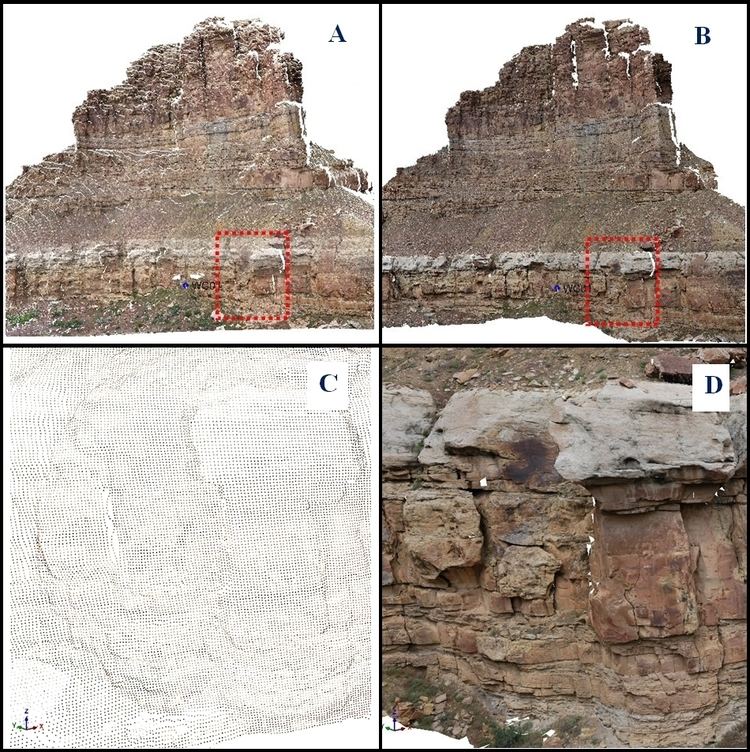
Alternatively to the photorealistic textured models 3D digital outcrop models may be represented by a point cloud coloured with the spectral (RGB) data from the corresponding images. Such surface model representation accurately describes the topography of the outcrop but due to its discrete nature is often difficult to interpret (see Figure 1.). Texturing digital polygonal outcrop models with images enhances the models with high resolution continuous data and therefore facilitates geological interpretation.
Creation techniques
Creation of textured DOMs can be divided into three main steps:
In order to achieve the required model resolution and accuracy data are mostly collected from the ground (terrestrial) or from a helicopter platform (mobile mapping). Airborne and satellite data may also be integrated but mostly as complementary datasets for the outcrop areas where close-range data are missing.
Digital outcrop surface model
Creation of the digital outcrop surface model consists of the following steps:
- Data acquisition
Digital images
- Image registration
Texture mapping
Different texture mapping algorithms exist, e.g.: single image texturing, texture colour blending or view-dependant texturing. The single image texturing approach is often used, due to its simplicity and efficiency.
Visualization
Visualization of large textured 3D models is still somewhat problematic and highly dependent on the hardware. The 3D nature of DOMs (multiple values for each X,Y position) results in a form of data that is not suitable for inputting to most geographical information systems. However several off-the-shelf visualization software packages exist that also allow for geological interpretation and measurements:
Digital outcrop models vs. photo panels
A photo panel is a mosaic of several images, commonly used in geology for outcrop documentation and reference to geometric object properties. Scale of such photo panels is approximately established to assess size of different geological features. However, these measures normally contain errors associated with the distortion produced during the transformation of 3D outcrops into 2D image plane and with the imprecision of the manual image stitching process.
Due to their 3D nature digital outcrop models provide correct and accurate measures of the features listed in the next section.
Data extractable from Digital Outcrop Models
Complementary data
Analysis of the digital outcrop models may be enhanced with wide variety of georeferenced digital data, e.g.:
Using not georeferenced data with DOMs is possible but requires more work to position the auxiliary data relative to the DOM.