
OS grid reference SU836184 | Sovereign state United Kingdom Postcode district GU29 0 UK parliament constituency Chichester | |
 | ||
My didling
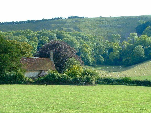
Didling is a tiny village in the Chichester district of West Sussex, England. It lies on the Treyford to Bepton road 3.5 miles (5.7 km) southwest of Midhurst. At the 2011 Census the population was included in the civil parish of Elsted and Treyford.
Contents
- My didling
- Map of Didling Midhurst UK
- Jock stewart redmond didling awa wi his melodeon
- Parish Church
- References
Map of Didling, Midhurst, UK
Jock stewart redmond didling awa wi his melodeon
Parish Church
The c.13th century church of St. Andrew, known as "The Shepherds' Church" sits a little to the south of the village on the northern slope of Didling Hill. The nave and chancel are of plastered rubble with ashlar dressings. The wooden porch is modern. The church has a single bell dated 1587. The church is known for its simplicity and the fact that it has survived the intervening centuries with very little restoration, with that which has taken place having been sympathetic. Without an electricity supply the church is lit by candles.