Population 246. 2011 Census Sovereign state United Kingdom Area 15.9 km² | OS grid reference SU816195 Post town MIDHURST Dialling code 01730 | |
 | ||
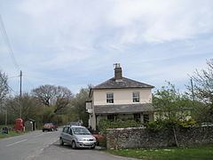
Elsted and Treyford is a civil parish in the Chichester district of West Sussex, west of Midhurst. It contains the settlements of Elsted, Elsted Marsh, Treyford, Didling and Hooksway.
Map of Elsted and Treyford, UK
The parish contains two churches, St Paul in Elsted and St Andrew, known as the Shepherds' Church, in the hamlet of Didling. It also contains the site of Treyford church.
Hooksway has a 16th-century pub, the Royal Oak.
In the 2001 census there were 114 households with a total population of 253 of whom 116 were economically active. At the 2011 Census the population was 246.
The Devil's Jumps, Treyford are nearby.
References
Elsted and Treyford Wikipedia(Text) CC BY-SA
