
Population 234. 2011 Census Civil parish Bepton Area 7.93 km² Dialling code 01730 | OS grid reference SU856182 Sovereign state United Kingdom Local time Friday 1:13 PM UK parliament constituency Chichester | |
 | ||
Weather 10°C, Wind S at 16 km/h, 89% Humidity | ||
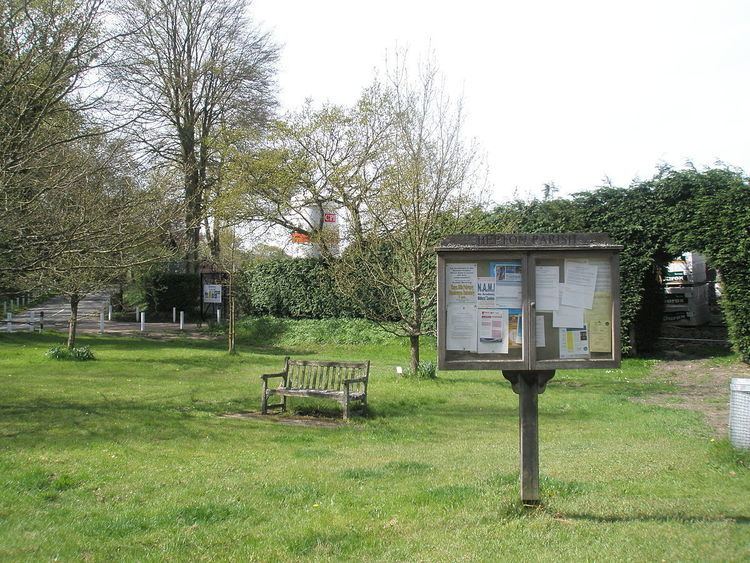
Bepton is a village and civil parish in the Chichester district of West Sussex, England. According to the 2001 census it had 104 households with a population of 249 of whom 117 were economically active. The village is about three miles (5 km) south-west of Midhurst.
Contents
Map of Bepton, UK
History
In 1086 Bepton was recorded in the Domesday Book as being called Babintone, held of Earl Roger by Geoffery. In 1931 its population was recorded as 292. In 1953 as a parish of 1,910 acres (7.7 km2).
Transport
Bepton can be reached by road off the A286 approximately 1.5 miles (2.4 km) from Cocking along Bell Lane. Alternatively from the A286 at Midhurst along Bepton Road.
The nearest railway station is eight miles (13 km) west of the village, at Petersfield.
References
Bepton Wikipedia(Text) CC BY-SA