
Topo map USGS Hightower Bald Elevation 1,408 m Parent range Blue Ridge Mountains | First ascent unknown Prominence 49 m Easiest route Hiking | |
 | ||
Similar Double Spring Knob, Hightower Bald, Wolfpen Ridge, Slaughter Mountain, Rabun Bald | ||
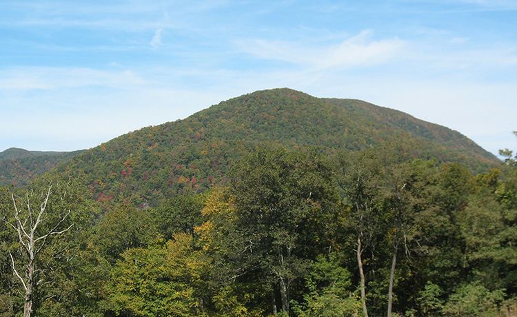
Dick's Knob or Dicks Knob, with an elevation of 4,620 feet (1,408 m), is the third-highest peak in the State of Georgia if using a 200 ft. prominence rule. It is located in Rabun County, Georgia within the Southern Nantahala Wilderness and is the second-highest mountain in the county.
Contents
Map of Dick's Knob, Georgia 30525, USA
Mountain
Dick's Knob is located in the Southern Nantahala Wilderness in the Chattahoochee National Forest on Pot Gap Ridge near the North Carolina border. The summit is located 0.5 miles (0.80 km) south of the North Carolina border, 2 miles (3.2 km) east of Tate City and 10 miles (16 km) northwest of Clayton. Nearby geographical features include the Tallulah River, Standing Indian Mountain and Grassy Ridge. Dicks Knob is part of the southern Crystalline Appalachians. A dwarfed oak forest covers the mountain's summit.
The summit of Dick's Knob was burned during the 2016 Rock Mountain Fire.
Hiking
No trails pass over Dick's Knob's summit. However, the mountain can be reached by hiking off-trail south from the Appalachian Trail at Beech Gap or east from the Tate Branch Campground near Tate City.