
Prominence 277 m (909 ft) OSI/OSNI grid L67272 Elevation 442 m Easiest route Hiking | First ascent ancestral Province Connacht Listing Marilyn | |
 | ||
Similar | ||
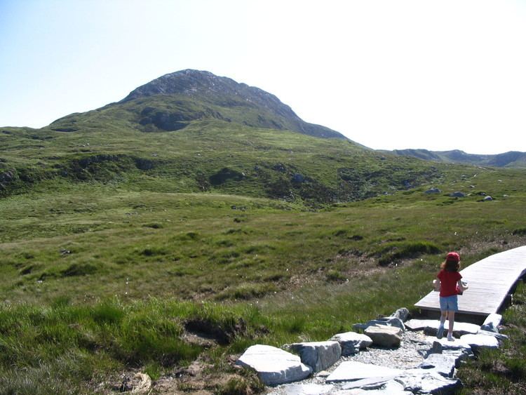
Diamond Hill (Irish: Binn Ghuaire, meaning "Guaire's peak") is a large hill south-east of Letterfrack in County Galway, Ireland.
Contents
- Map of Diamond Hill Addergoole Co Galway Ireland
- GeographyEdit
- NameEdit
- Access to the summitEdit
- ConservationEdit
- References
Map of Diamond Hill, Addergoole, Co. Galway, Ireland
GeographyEdit
The 442-metre (1,450 ft) high hill stands in a prominent position between the Ballinakill harbour (West) and the Twelve Bens range (East).
The top of the hill hosts a large cairn. It offers a view on a long stretch of Irish Atlantic coast, the Twelve Bens and the isles of Inishboffin and Inishark.
NameEdit
The English meaning of Binn Ghuaire is Guaire's peak; it is uncertain which Guaire is meant; it very likely relates to the surname rather than to the seventh-century king of Connachta, Guaire Aidni. The hill was also known as Bengooria, an anglicized form of the Irish name.
Access to the summitEdit
The walk which leads from the National Park visitor centre (Letterfrack) up to the summit does not require any special hiking hability, but is advisable wearing a proper outdoor clothing and being reasonably well trained. The complete signposed walk is composed of a lower Diamond Hill Walk (3 km long) and an Upper Diamond Hill Walk (3.7 km long) which reaches the summit. Diamond Hill is a popular walking destination and attracts both Irish hikers and foreign tourists.
ConservationEdit
Diamond hill and its surrounding area is part of the Connemara National Park.