
Country India Lok Sabha constituency Jalpaiguri | Time zone IST (UTC+5:30) Area 535.3 km² | |
 | ||
Vidhan Sabha constituency Dhupguri, Nagrakata, Madarihat | ||
Dhupguri (community development block) is an administrative division in Jalpaiguri Sadar subdivision of Jalpaiguri district in the Indian state of West Bengal. Dhupguri and Banarhat police stations serve this block. Headquarters of this block is at Dhupguri. Municipalities include Dhupguri while the census towns in this block are: Banarhat and Binnaguri.
Contents
Geography
Dhupguri is located at 26°35′N 89°01′E.
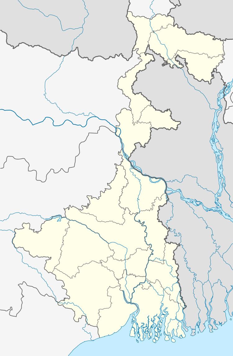
Dhupguri community development block has an area of 535.27 km2.
Gram panchayats
Gram panchayats of Dhupguri block/ panchayat samiti are:
- Banarhat I
- Banarhat II
- Barogharia
- Binnaguri
- Chamurchi
- Gadhearkuthi
- Gadong I
- Gadong II
- Jharaltagram I
- Jharaltagram II
- Magurmari I
- Magurmari II
- Sakoajhora I
- Sakoajhora II
- Salbari I
- Salbari II.Total GP - 16.
Demographics
As per 2011 Census of India Dhupguri CD Block had a total population of 414,854 of which 380,090 were rural and 34,764 were urban. There were 210,571 males and 204,283 females. Scheduled Castes numbered 190,816 and Scheduled Tribes numbered 87,273.
Literacy
As per 2011 census the total number of literates in Dhupguri CD Block was 251,875, out of which 142,427 were males and 109.448 were females.
Transport
NH 17 passes through the block.