
 | ||
Devetaki Peak (Bulgarian: връх Деветаки, ‘Vrah Devetaki’ \'vr&h de-ve-'ta-ki) is the rocky peak rising to 1100 m in Austa Ridge on Oscar II Coast in Graham Land. It surmounts Chernoochene Glacier to the north and east, and Spillane Fjord to the south. The feature is named after the settlement of Devetaki in Northern Bulgaria.
Contents
Map of Devetaki Peak, Antarctica
Location
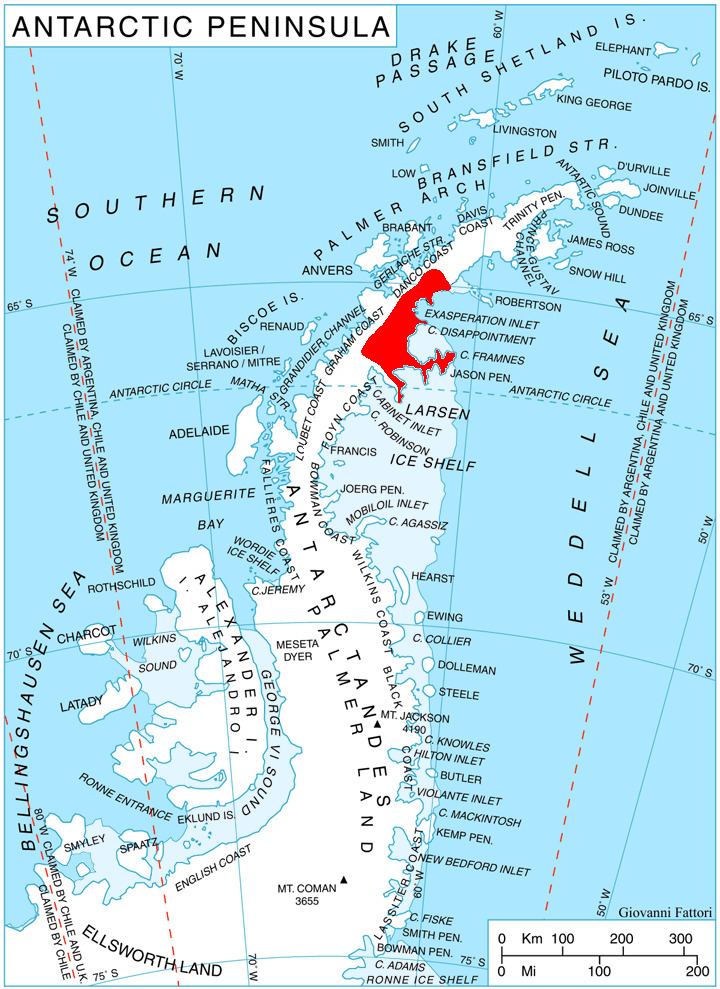
Devetaki Peak is located at 65°17′43″S 62°18′00″W, which is 7.42 km southwest of Humar Peak, 6.23 km west of Mount Birks, and 14.57 km northeast of Ishirkov Crag in Arkovna Ridge. British mapping in 1976.
Maps
References
Devetaki Peak Wikipedia(Text) CC BY-SA