
Country Belgium Area 26.56 km² Local time Tuesday 12:30 PM | Postal codes 9070 Postal code 9070 Area code 09 | |
 | ||
Weather 9°C, Wind W at 14 km/h, 75% Humidity | ||
Destelbergen ( [ˌdɛstəlˈbɛrɣə(n)]) is a municipality located in the Belgian province of East Flanders. The municipality comprises the towns of Destelbergen proper and Heusden and was created on January 1, 1977, by the fusion of these two municipalities. Its western border touches the municipality of Ghent and Melle and is formed by an ancient silted up branch of the river Scheldt.
Contents
Map of 9070 Destelbergen, Belgium
On January 1, 2011, Destelbergen had a total population of 17,636. The total area is 26.56 km² which gives a population density of 664 inhabitants per km².
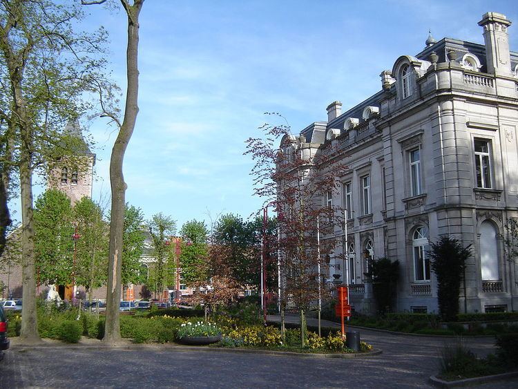
Attractions worth seeing are the many residential castles, a Gaulish farmhouse, and the Damvallei nature reserve.
Retro arena topradio bocca destelbergen
References
Destelbergen Wikipedia(Text) CC BY-SA