
- location below Pig Hill | - elevation 716 m (2,349 ft) - elevation 395 m (1,296 ft) | |
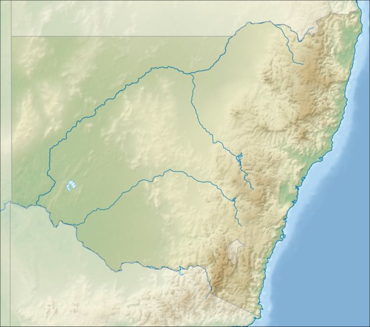 | ||
The Derringullen Creek, a mostly–perennial river that is part of the Murrumbidgee catchment within the Murray–Darling basin, is located in the South West Slopes region of New South Wales, Australia.
Contents
Map of Derringullen Creek, New South Wales, Australia
Course and features
The Derringullen Creek (technically a river) rises below Pig Hill, on the Great Dividing Range, and flows generally south southwest before reaching its confluence with the Yass River west of Yass. The Derringullen Creek descends 322 metres (1,056 ft) over its 25-kilometre (16 mi) course.
The Hume Highway crosses the Derringullen Creek between Yass and Bowning.
References
Derringullen Creek Wikipedia(Text) CC BY-SA