
County Perry ZIP code 47525 Elevation 137 m | State Indiana GNIS feature ID 450842 Local time Monday 8:45 PM | |
 | ||
Weather 17°C, Wind S at 24 km/h, 68% Humidity | ||
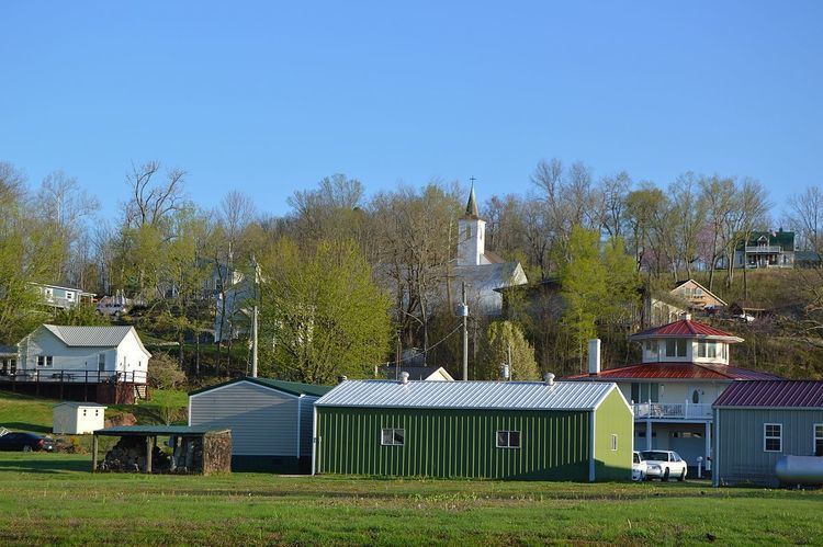
Derby is an unincorporated community along the Ohio River in far southern Union Township, Perry County, Indiana, United States. It lies at the intersection of State Roads 66 and 70 above the city of Tell City, the county seat of Perry County. Its elevation is 449 feet (137 m), and it is located at 38°1′49″N 86°31′38″W (38.0303400, -86.5272018). Although Derby is unincorporated, it has a post office, with the ZIP code of 47525.
Contents
Map of Derby, IN 47525, USA
History
Derby was platted in 1835. The community was named after Derby, in the United Kingdom. A post office has been in operation at Derby since 1852.
References
Derby, Indiana Wikipedia(Text) CC BY-SA