
Elevation 116 m Local time Friday 1:07 PM | GNIS feature ID 0453929 Area 111.7 km² Population 557 (2010) | |
 | ||
ZIP codes 47520, 47525, 47551, 47586 Weather 11°C, Wind W at 23 km/h, 85% Humidity | ||
Union Township is one of seven townships in Perry County, Indiana, United States. As of the 2010 census, its population was 557 and it contained 293 housing units.
Contents
- Map of Union Township IN USA
- History
- Geography
- Unincorporated towns
- Cemeteries
- Major highways
- School districts
- Political districts
- References
Map of Union Township, IN, USA
History
The Rockhouse Cliffs Rock Shelters was listed on the National Register of Historic Places in 1986.
Geography
According to the 2010 census, the township has a total area of 43.12 square miles (111.7 km2), of which 42.27 square miles (109.5 km2) (or 98.03%) is land and 0.85 square miles (2.2 km2) (or 1.97%) is water.
Unincorporated towns
(This list is based on USGS data and may include former settlements.)
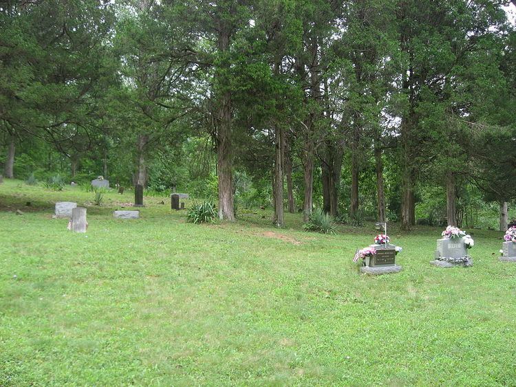
Cemeteries
The township contains these seven cemeteries: Badger, Derby, Horton, Old Chapel, Phelps, Stephenson and Talley.
Major highways
School districts
Political districts
References
Union Township, Perry County, Indiana Wikipedia(Text) CC BY-SA