Airport type Public 9/27 2,550 Address Denton, MT 59430, USA | Owner Town of Denton Elevation AMSL 3,594 ft / 1,095 m 2,550 777 Phone +1 406-567-2370 | |
 | ||
Plane crashes near denton airport
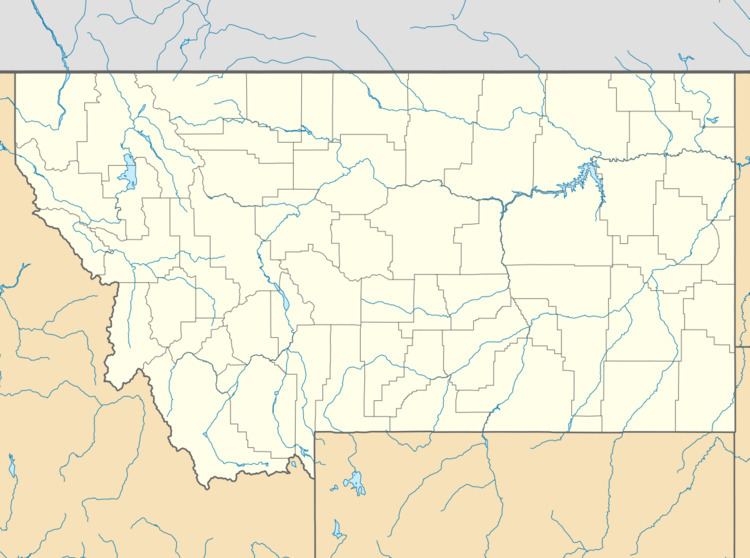
Denton Airport (FAA LID: 5U0) is a town owned, public use airport located in Denton, a town in Fergus County, Montana, United States.
Contents
- Plane crashes near denton airport
- Liveatc cessna n441tg crashes near finals for denton airport kdto
- Facilities and aircraft
- References
Liveatc cessna n441tg crashes near finals for denton airport kdto
Facilities and aircraft
Denton Airport resides at elevation of 3,594 feet (1,095 m) above mean sea level. It has one runway designated 9/27 with a turf surface measuring 2,550 by 180 feet (777 x 55 m). For the 12-month period ending July 20, 2011, the airport had 550 general aviation aircraft operations, an average of 45 per month.
References
Denton Airport Wikipedia(Text) CC BY-SA
