
Congressional district At-large Website www.co.fergus.mt.us Founded 1885 | Area 11,266 km² Population 11,501 (2013) | |
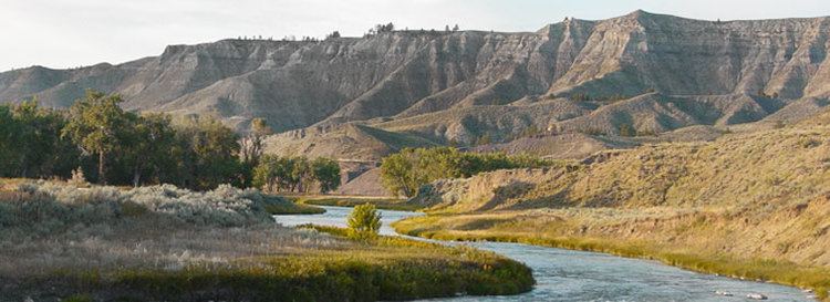 | ||
Rivers Judith River, Arrow Creek, McDonald Creek Points of interest Central Montana Historical, Big Snowy Mountains, Lewiston Art Center, Judith Mountains, James Kipp Recreatio | ||
Fergus County is a county in the U.S. state of Montana. As of the 2010 census, the population was 11,586. Its county seat is Lewistown. The county was founded in 1885 and named for James Fergus, a Montana politician who was instrumental in creating the county (or, according to another source, John Fergus).
Contents
- Map of Fergus County MT USA
- Geography
- Major highways
- National protected areas
- 2000 census
- 2010 census
- City
- Towns
- Census designated place
- Unincorporated communities
- Notable residents
- References
Map of Fergus County, MT, USA
Geography
According to the U.S. Census Bureau, the county has a total area of 4,350 square miles (11,300 km2), of which 4,340 square miles (11,200 km2) is land and 11 square miles (28 km2) (0.2%) is water.
Major highways
National protected areas
2000 census
As of the census of 2000, there were 11,893 people, 4,860 households, and 3,197 families residing in the county. The population density was 3 people per square mile (1/km²). There were 5,558 housing units at an average density of 1 per square mile (0/km²). The racial makeup of the county was 97.10% White, 0.08% Black or African American, 1.18% Native American, 0.19% Asian, 0.29% from other races, and 1.16% from two or more races. 0.81% of the population were Hispanic or Latino of any race. 24.5% were of German, 13.5% American, 13.0% Norwegian, 9.3% Irish and 9.0% English ancestry. 97.1% spoke English, 1.2% German and 1.1% Spanish as their first language.
There were 4,860 households out of which 28.70% had children under the age of 18 living with them, 56.10% were married couples living together, 6.70% had a female householder with no husband present, and 34.20% were non-families. 30.50% of all households were made up of individuals and 13.90% had someone living alone who was 65 years of age or older. The average household size was 2.33 and the average family size was 2.91.
In the county, the population was spread out with 24.50% under the age of 18, 6.10% from 18 to 24, 23.60% from 25 to 44, 25.80% from 45 to 64, and 19.90% who were 65 years of age or older. The median age was 42 years. For every 100 females there were 94.80 males. For every 100 females age 18 and over, there were 93.40 males.
The median income for a household in the county was $30,409, and the median income for a family was $36,609. Males had a median income of $27,260 versus $18,138 for females. The per capita income for the county was $15,808. About 10.60% of families and 15.40% of the population were below the poverty line, including 19.40% of those under age 18 and 12.20% of those age 65 or over.
2010 census
As of the 2010 United States Census, there were 11,586 people, 5,099 households, and 3,202 families residing in the county. The population density was 2.7 inhabitants per square mile (1.0/km2). There were 5,836 housing units at an average density of 1.3 per square mile (0.50/km2). The racial makeup of the county was 96.6% white, 1.2% American Indian, 0.2% black or African American, 0.2% Asian, 0.2% from other races, and 1.5% from two or more races. Those of Hispanic or Latino origin made up 1.5% of the population. In terms of ancestry, 30.8% were German, 15.9% were English, 14.7% were Norwegian, 12.8% were Irish, and 4.2% were American.
Of the 5,099 households, 23.8% had children under the age of 18 living with them, 52.9% were married couples living together, 6.5% had a female householder with no husband present, 37.2% were non-families, and 32.6% of all households were made up of individuals. The average household size was 2.18 and the average family size was 2.75. The median age was 47.8 years.
The median income for a household in the county was $37,607 and the median income for a family was $48,623. Males had a median income of $35,110 versus $21,225 for females. The per capita income for the county was $22,295. About 12.5% of families and 14.7% of the population were below the poverty line, including 24.2% of those under age 18 and 9.3% of those age 65 or over.