
Established as a first-level subdivision 1997 Area 20,600 km² | Disestablished 2011 Capital Odienné | |
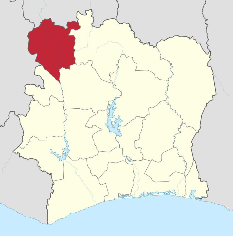 | ||
Denguélé Region is a defunct region of Ivory Coast. From 1997 to 2011, it was a first-level subdivision region. The region's capital was Odienné and its area was 20,997 km². Since 2011, the territory formerly encompassed by the region is co-extensive with Denguélé District.
Contents
Map of Dengu%C3%A9l%C3%A9, The Ivory Coast
The region was located in the northwest extremity of the country, bordering Sikasso, Mali to the north, and Nzérékoré, Guinea, to the west. The region of Bafing lied to the south, Worodougou was situated to the south-east, and Savanes to the immediate east.
Administrative divisions
At the time of its dissolution, Denguélé Region was divided into three departments: Madinani, Minignan, and Odienné.
Abolition
Denguélé Region was abolished as part of the 2011 administrative reorganisation of the subdivisions of Ivory Coast. The area formerly encompassed by the region is the same territory that is now Denguélé District.