Country Ivory Coast Area 8,650 km² | District Woroba Time zone GMT (UTC+0) Population 183,047 (2014) | |
 | ||
2011 Converted to a second-level subdivision | ||
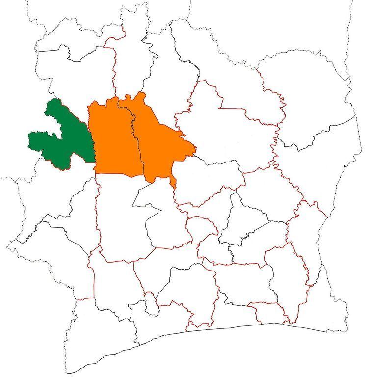
Bafing Region is one of the 31 regions of Ivory Coast and is part of Woroba District. The region's seat is Touba. The region's area is 8,922 km², and its population in the 2014 census was 183,047.
Contents
Map of Bafing Region, The Ivory Coast
Departments and geography
Bafing Region is currently divided into three departments: Koro, Ouaninou, and Touba. The region is traversed by a northwesterly line of equal latitude and longitude.
History
Bafing Region was created in 2000 as a first-level administration region of the country. It was formed by splitting-off Touba Department from Worodougou Region. Koro Department was created as a split-off from Touba Department in 2008.
As part of the 2011 reorganisation of the subdivisions of Ivory Coast, Bafing was converted into a second-level administrative region and was added to the new first-level Woroba District. No territorial changes were made to Bafing as a result of the reorganisation, but a third department—Ouaninou Department—was created by splitting Touba Department again.
